Gå til hovedinnhold
Havforskningsinstituttet
HI
English
<- Tilbake
Søk
Søk
Søk
View page in English
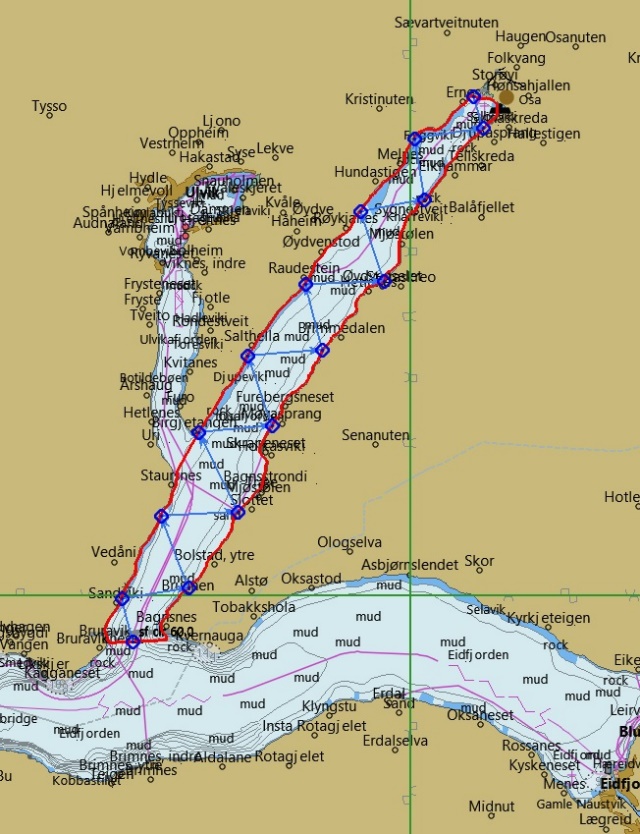
Figur
Fra rapporten:
Measuring distribution and density of sprat in Norwegian fjords using a kayak drone
Figure A1.4 Run 4 in Osafjord at night-time as shown in the OpenCPN map. Closed red line: stratum, blue line of arrows: route with directions, blue diamonds: route waypoints. The realized Kayak Drone track is not available.