Gå til hovedinnhold
Havforskningsinstituttet
HI
English
<- Tilbake
Søk
Søk
Søk
View page in English
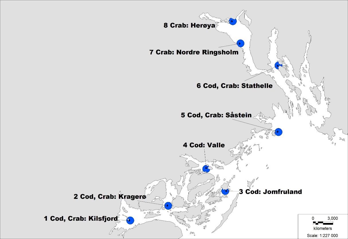
Figur
Fra rapporten:
Sjømat fra havner og fjorder med kostadvarsel
Figure 3: Map of the Kragerø/Grenland area. Blue cirular areas, approximate fishing stations. Adjacent text: Stations number, species fished and location name.