This remotely piloted kayak can observe sprat close to the surface
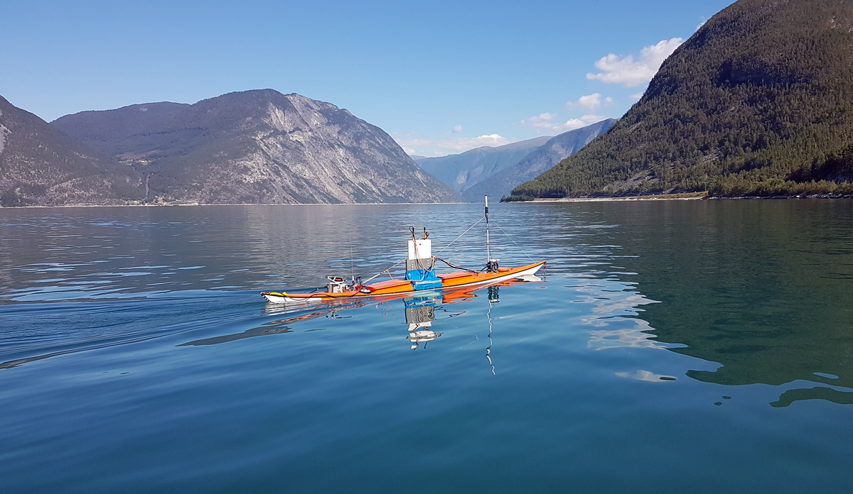
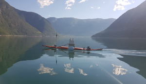
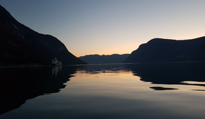
The kayak drone glides smoothly through the fjord, measuring sprat close to the surface.
Photo: Espen Johnsen / IMR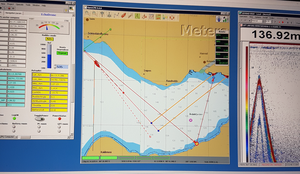
Published: 09.09.2020 Updated: 25.10.2023
This article has been translated by an AI service, and reviewed by a (Norwegian) human.
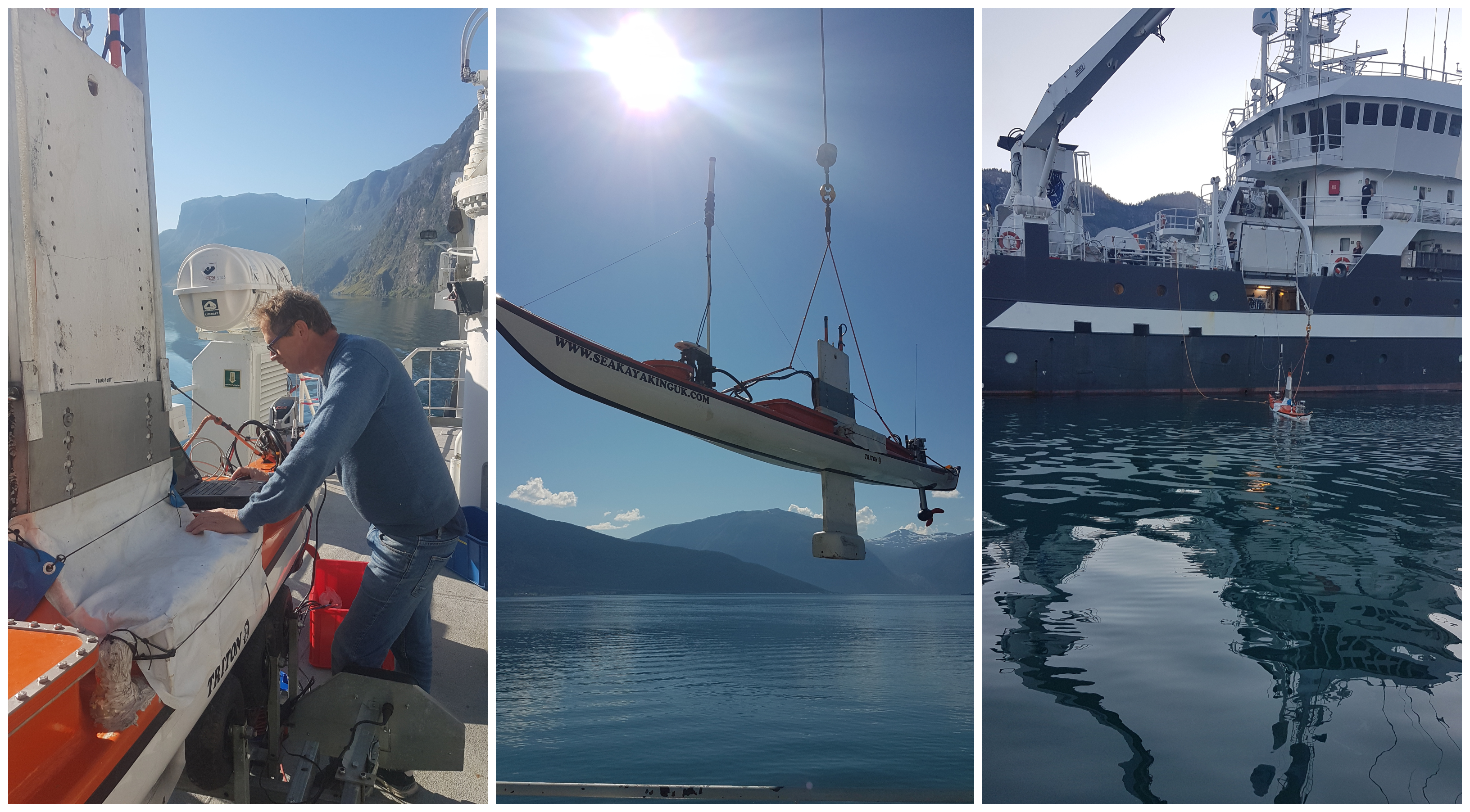
The kayak drone was developed by the Institute of Marine Research and is equipped with an environmentally friendly electric motor and scientific echo sounder. This is the first time the marine researchers have experimented with drone technology during the annual sprat survey in the western fjords.
During the survey in August, the drone was used to supplement the regular observations taken by the research vessel "Kristine Bonnevie" in Årdalsfjorden, the innermost arm of the Sognefjord.
The cruise report can be read in Norwegian here.
Can't observe all the fish
"We have had a suspicion that we are not able to adequately cover the sprat during our surveys in Sognefjorden," says Cecilie Kvamme, who is responsible for coastal sprat at the Marine Research Institute (HI).
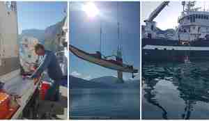
The suspicion is related to the fact that a good portion of the sprat swim close to the shore and near the water's surface, so that "Kristine Bonnevie" doesn't detect them with its echo sounder. Therefore, researcher Espen Johnsen and senior engineer Atle Totland were invited to conduct experiments with the light and agile kayak drone during this year's survey.
"We know that sprat swim up towards the surface, especially at night, and naturally you can't measure what is above the keel of the boat. There's a significant margin of error with traditional research vessels," says Johnsen.
They conducted experiments over two days: in the evening of Saturday 15th and during the day on Sunday 16th of August. The drone followed a course between predefined points in the fjord."
Most fish were in the blind spot at night
And the result?
"We measured approximately the same density of sprat in the fjord in both experiments. A major difference, as expected, was that the sprat were much higher in the water column at night," says Espen Johnsen.
In the evening, over 60 percent were closer to the surface than eight meters, which is as high as "Kristine Bonnevie" can measure. During the day, about a quarter of the fish were higher than eight meters.
The kayak drone measures up to a depth of two meters with its echo sounder.
Important for the fishers
This year's quota advice for sprat in the fjords were made public at the end of August and did not accomodate the findings from the experimental trial with the kayak drone. However, Kvamme hopes that the drone can be included in future surveys to provide both researchers and fishermen with a better understanding of the sprat population.
"Sognefjorden is an important fjord for fishermen. It's where the most sprat has been caught over the past decade, so it has consequences for the fishermen if we can't measure all the fish that are there," says Cecilie Kvamme.
She envisions that going forward, they will be able to conduct the necessary measurements with "Kristine Bonnevie" during the day and also use the kayak drone selectively in areas with a lot of sprat to make the best possible estimates of the population.
Drones are a supplement, not a replacement
However, the drone cannot fully replace the usual survey activities. Among other things, researchers has to go out and take biological samples, which means catching fish to examine species and age structure in the populatopm.
Current technology also has its limitations regarding "range anxiety" and the risk of conflicts at sea. The kayak drone has an AIS tracking system but lacks intelligent anti-collision technology. Therefore, there needs to be personnel nearby to monitor the situation.
Espen Johnsen believes, nonetheless, that the technology is inevitably advancing and continually improving.
"In a few years, using drones will be a natural part of our survey activities. The future is probably a combination of a boat that can take biological samples and a type of drone technology that simoultaneously measures the fish acoustically," he predicts.