| Cruise no | Period | Vessel | Purpose | Area | CTD st.no | Trawl st.no | Fig. no |
| 2019802 | 22.1.-26.2. | «Helmer Hanssen» | Abundance and distribution of cod and haddock. | Barents Sea,Greenland Sea. | 1-62 | 1-189 | 123-124 |
| 2019804 | 11.2.-21.2. | «Asbjørn Selsbane» | A demersal seine was applied with pelagic trawl doors for live capture of cod. Catch limitation devices were tested and filmed with underwater cameras. Fishing was conducted at various depths and fishing densities and viability of the fish evaluated. | Barents Sea. | - | 1-18 | 125 |
| 2019806 | 20.6.-5.7. | “ Talbor” | The aim of the cruise was to study the spreading and collect densities data of the snow crab in the Svalbard Fishery Protection Zone by using a hired fishery vessel. Our main study area was in the area for commercial fishing. | Barents Sea | - | - | 126 |
| 2019807 | 7.3.-2.4. | “ Trombas” | Investigate effects of artificial light and new pot designs in the Barents Sea snow crab. | Barents Sea | - | - | No Chart |
| 2019809 | 4.3.-17.3. | “ Vendla” | Acoustic trawl survey on Capelin spawning stock. Methodological survey using a stratified survey design aiming to measure the abundance of Capelin during the spawning season. | Norwegian Sea | - | 1-22 | 127 |
| 2019813 | 19.9.-4.10. | «Helmer Hanssen» | The survey is part of the Barents Sea Ecosystem survey. Main goal is monitoring of the ecosystem. Data that were collected included physical oceanography, plankton, fish, benthos and marine mammal registrations. Several special investigations were also conducted. | Barents Sea | 63-96 | 190-260 | 128-129 |
| 2019815 | 10.6.-16.6. | «Johan Ruud» | Study the spreading area for red king crab in Vest Finnmark, Norway. This is the area for a free fishing for red king crab and the further spreading is monitored. | Barents Sea | - | - | 130 |
| 2018818 | 12.8.-1.9. | «Arctic Aurora» | Estimate harbour seal abundance based on numbers hauled out during moult in the counties Trøndelag and Nordland. | Barents Sea | - | - | No chart |
| 2019824 | 18.3.-10.4. | «Katla» | ∀ Compare the unfished northern shrimp (Pandalus borealis) stocks in the two fjords Porsanger and Tana in North-Norway (closed for trawling since the beginning of the 1970s) with the shrimp stock in a commercially exploited reference fjord (Kvænangen) with regards to density, spatial distribution, size and stage distribution, as well as genetic stock composition. ∀ Collect data on all demersal fish stocks (density, spatial distribution, length, age, stomach content) in the Tana and Porsanger fjords as well as in the reference fjord, Kvænangen, for use in an ECOPATH model. ∀ Collect bottom temperature in all three fjords by means of temperature loggers on the trawl. | Norwegian Sea | - | 1-82 | 131 |
| 2019825 | 30.9.-23.10. | «Katla» | ∀ Compare the unfished northern shrimp (Pandalus borealis) stocks in the two fjords Porsanger and Tana in North-Norway (closed for trawling since the beginning of the 1970s) with the shrimp stock in a commercially exploited reference fjord (Kvænangen) with regards to density, spatial distribution, size and stage distribution, as well as genetic stock composition. ∀ Collect data on all demersal fish stocks (density, spatial distribution, length, age, stomach content) in the Tana and Porsanger fjords as well as in the reference fjord, Kvænangen, for use in an ECOPATH model. ∀ Collect bottom temperature in all three fjords by means of temperature loggers on the trawl. | Barents Sea, Norwegian Sea | | | No chart |
| 2019828 | 8.1.-12.3. | « Cabo de Hornos » | Large scale krill synoptic survey in Area 48 Antarctica - ARK vessel. | Scotia Sea | - | - | No chart |
| 2019829 | 5.4.-14.5. | «Lance» | It is established a long-term data set of reproductive data for the Harp Seal population in the Greenlan Sea/West Ice. The main purpose of the cruise was to obtain data to continue this work and to collect samples to get updated data for the population’s condition. | Greenland Sea/West Ice | - | - | No chart |
| 2019830 | 4.8.-27.8. | “ Kato” | The main purpose of the cruise was to obtain data for ecological monitoring of the minke whale stock. | Barents Sea | - | - | 132 |
| 2019831 | 22.3.-8.4. | “ Kings Bay” | International blue whiting spawning stock survey. Acoustic survey to monitor the spawning stock of blue whiting on the spawning grounds west of the British Isles. | Northeast Atlantic Ocean | 1-27 | 16-26 | 133 |
| 2019832 | 18.9.-1.10. | “ Fiskebas” | Test optical and acoustic instruments and methods for characterising the catch, with respect to species, biomass, individual size and welfare status. Observe fish behaviour and environmental conditions before and during catching, as well as the fish's vitality, during pumping and storage, as a basis for studying catch welfare. | Norwegian Sea North Sea | - | - | No chart |
| 2019833 | 10.6.-24.6. | “ Vendla” | North Sea herring fishing grounds. | North Sea | - | - | No chart |
| 2019836 | 9.6.-29.6. | «Brennholm» | ICES Triennial egg survey for assessment of spawning stock biomass of North East Atlantic Mackerel . | North Sea, Norwegian Sea | - | - | 134 |
| 2019837 | 3.7.-6.8. | «Kings Bay» | Part of the International Ecosystem Summer Survey of the Nordic Seas (IESSNS) where the objectives are (1) to measure the abundance of Northeast Atlantic mackerel using swept-area method (2) measure the abundance of Norwegian spring-spawing herring and blue whiting using acoustics, (2) collect data on zooplankton, (3) measure the hydrographical conditions. | Norwegian Sea | 28-103 | 27-115 | 135-136 |
| 2019838 | 4.7.-6.8. | «Vendla» | Pimary objective: Large-scale mapping and abundance estimation of Northeast Atlantic (NEA) mackerel, Norwegian Spring-Spawning (NSS) herring and blue whiting. Swept area trawling for mackerel and acoustic recordings and trawling on registrations for NSS herring and blue whiting.Secondary objectives: Sampling of zooplankton (0-200 m depth) and water temperature/salinity profiles (0-500 m depth). Opportunistic marine mammal observations along the covered transects.Mapping of Atlantic salmon, lumpfish and other pelagic fish species. | Atlantic Ocean, Norwegian Sea | 12-82 | 36-126 | 137-138 |
| 2019839 | 2.5.-3.6. | «Fiskebas» | Tagging with RFID technology and biological sampling of mackerel in the spawning areas west of Ireland and Scotland. | Northeast Atlantic Ocean | - | - | 139 |
| 2019840 | 13.2.-25.2. | «Kings Bay» | Provide acoustic estimates of abundance and distribution of Norwegian spring spawning herring during the spawning migration along the Norwegian coast. | Norwegian Sea | - | 1-15 | 140 |
| 2019841 | 13.2.-25.2. | «Eros» | Abundance estimation of Norwegian Spring spawing herring during the spawning season. | Norwegian Sea | 83-92 | 1-14 | 141 |
| 2019842 | 13.2.-25.2. | «Vendla» | Collection of acoustic data from fisheries sonar for study of herring schools. Collection of acoustic data from echo sounder for biomass estimation of herring. Collection of biological samples for estimation of species and size composition in the acoustic observations. Collection of hydrographic data (CTD). | Norwegian Sea | 1-11 | 1-13 | 142-143 |
| 2019843 | 19.11.-10.12. | “ Nystrøm” | Tagging and release of NSS herring with RFID technology and biological sampling of herring in the wintering areas in Troms, Northern Norway. | Northeast Atlantic Ocean | - | - | No Chart |
| 2019844 | 18.6.-12.8. | “ ACC Mosby” | Minke whale sighting survey program. Over the period 2014-2019 the Northeast Atlantic is covered by a mosaic survey to estimate the abundance of minke whales and other cetaceans. The methodology which involves tracking procedures for minke whales is especially developed for minke whales. | Barents Sea, Greenland Sea, Norwegian Sea | - | - | No Chart |
| 2019847 | 23.4.-13.5. | “ Eros” | Measuring the abundance, distribution and age composition of lesser sandeel ∀ Dredge sampling for burrowed sandeels ∀ Bottom trawls ∀ Pelagic trawls ∀ Echo sounder sampling ∀ Zooplankton sampling ∀ Mapping of hydrographical conditions | North Sea | 11-35 | 15-48 | 144-145 |
| 2019849 | 28.4.-10.5. | “ Tangen” | Estimate the effect of codend circumference for the size selection of northern shrimp. Quantify the importance of selection near or at the surfce during haulback. | North Sea | - | 1-17 | 146 |
| 2019850 | 11.8.-28.8. | « Arni Fridriksson» | The survey is part of the international deep pelagic ecosystem surveys (ICES-WGIDEEPS). Main objective: Survey of Sebastes mentella in the open Norwegian Sea, the calculated survey index will be used as input in the assessment of the stock. Secondary objective: Collect data in support to integrated ecosystem management in the open Norwegian Sea. | Norwegian Sea | - | 1-28 | 147 |
| 2019851 | 6.2.-12.2. | «Grotle» | Comparative fishing trials of artificial bait in longline fisheries for cod, ling and tusk. Trials part of a project aiming at finding alternative baits to expensive natural baits. The cruise tested at total of 10 different baits from two manufactures. | Norwegian Sea | - | - | No chart |
| 2019853 | 1.10.-5.10. | «Kings Bay» | Survey of potentially human pathogenic and quality reducing parasites and microbiota in Atlantic mackerel intended for human consumption. The main parasite target species are anisakid nematodes incl. Anisakis spp., the soft flesh-inducing myxosporean parasite Kudoa thyrsites, and the fungus-like parasite Ichthyophonus sp. Additionally, the above mentioned parasite species, especially Anisakis spp., may serve as biological tag to track the actual mackerels‘ migration route. | North Sea, Norwegian Sea | - | - | No chart |
| 2019854 | 10.10.-14.10. | «Kings Bay» | Survey of quality reducing parasites in Atlantic mackerel intended for human consumption. The parasite target species were the soft flesh-inducing myxosporean parasite Kudoa thyrsites, and the fungus-like parasite Ichthyophonus sp. | North Sea | - | - | No chart |
| 2019855 | 8.4.-15.4. | «Kings Bay» | Survey of potentially human pathogenic and/or quality reducing parasites and microbiota in blue whiting intended for human consumption. | Northeast Atlantic Ocean | - | - | No chart |
| 2019856 | 6.6.-10.6. | «Kings Bay» | Survey of potentially human pathogenic or quality reducing parasites and microbes in North Sea herring (Clupea harengus). | North Sea | - | - | No chart |
| 2019857 | 30.10.-4.11. | «Kings Bay» | Survey of potentially health hazardous and/or quality reducing parasites in Norwegian spring spawning herring (Clupea harengus) intended for human consumption. The main parasite target species were the zoonotic nematode Anisakis simplex and the fungus-like parasite Ichthyophonus sp. | Norwegian Sea | - | - | No chart |
| 2019858 | 7.1.-28.1. | “ Nystrøm” | Tagging and release of NSS herring with RFID technology and biological sampling of herring in the wintering areas in Troms, Northern Norway. | Norwegian fjord | - | - | 148 |
| 2019860 | 30.8.-19.9. | “ Arni Fridriksson” | Deep-sea fish species: Monitoring of Greenland halibut, redfish and other deep-sea fish species, and elasmobranches. Biological sampling and data collection for assessment. | Barents Sea Norwegian Sea | - | - | 149 |
| 2019861 | 17.3.-10.4. | “ Henriette” | Investigate distribution of northern shrimp (Pandalus borealis) on different types of benthic habitat using shrimp pots in the two fjords Porsanger and Tana in North-Norway (closed for trawling since the 1970’s) and in a trawled reference fjord (Kvænangen). ∀ Compare catch efficiency between a commercial shrimp trawl and shrimp pots. ∀ Collect bottom temperature in all three fjords by means of temperature loggers on shrimp pots. | Barents Sea Norwegian Sea | - | - | 150 |
| 2019862 | 10.3.-19.3. | “ Vikingbank” | A blue whiting trawl was equipped with depth sensors, catch limitation system and a cod-end release device. The catch limitation system and cod-end release device were tested and filmed with underwater cameras, and observations of the trawls geometry was carried out. | North Atlantic Ocean | - | 1-4 | 151 |
| 2019863 | 18.3.-29.3. | “ Eli R” | A sorting grid for excluding large fish is mandatory in the Norwegian shrimp fisheries. The use of the grid also causes loss of valuable Nephrop catches. To avoid losing Nephrops, an opening at the bottom of the grid has been suggested as a solution. In this study, a standard grid was therefore compared to a grid with 15 cm opening at the bottom to investigate if the grid modification results in increased catches of Nephrops and fish. Two identical trawls were towed simultaneously in commercial fishing areas and all species measured and quantified. | Skagerrak | - | - | 152 |
| 2019865 | 2.4.-14.4. | “ Marie Emilie” | A sorting grid for excluding large fish is mandatory in the Norwegian shrimp fisheries. The use of the grid also causes loss of valuable Nephrop catches. To avoid losing Nephrops, an opening at the bottom of the grid has been suggested as a solution. In this study, a standard grid was therefore compared to a grid with 15 cm opening at the bottom to investigate if the grid modification results in increased catches of Nephrops and fish. Two identical trawls were towed simultaneously in commercial fishing areas and all species measured and quantified. | North Sea | - | - | 153 |
| 2019866 | 29.10.-8.11. | “ Marie Emilie” | A sorting grid for excluding large fish is mandatory in the Norwegian shrimp fisheries. The use of the grid also causes loss of valuable Nephrop catches. To avoid losing Nephrops, an opening at the bottom of the grid has been suggested as a solution. In this study, a standard grid was therefore compared to a grid with 15 cm opening at the bottom to investigate if the grid modification results in increased catches of Nephrops and fish. Two identical trawls were towed simultaneously in commercial fishing areas and all species measured and quantified. | North Sea | - | - | 154 |
| 2019871 | 4.9.-10.9. | “ Ballstadoey” | Underwater observation of catch regulation device for demersal seines. Video recordings where obtained from catch regulation device square mesh codend and codend extension. The overall objective is to collect video and information in order to improve the accuracy of the catch regulation system and to produce teaching material, in addition a prototype of an automatic codend releaser was tested. | Barents Sea Coast of Finnmark | - | - | No chart |
| 2019873 | 21.10.-1.11. | “ Eir” | Experimental fishery in shallow water, using trammel nets and fyke nets. Main objective is to add data to time-series with focus on coastal cod abundance. | North Sea Coastal areas | - | - | No chart |
 Fig3
Fig3 Fig. 4
 Fig. 5
 Fig. 6
 Fig. 7
 Fig. 9
 Fig. 10
 Fig.11
 Fig. 12
 Fig. 13
 Fig. 14
 Fig. 16
 Fig. 17
 Fig. 18
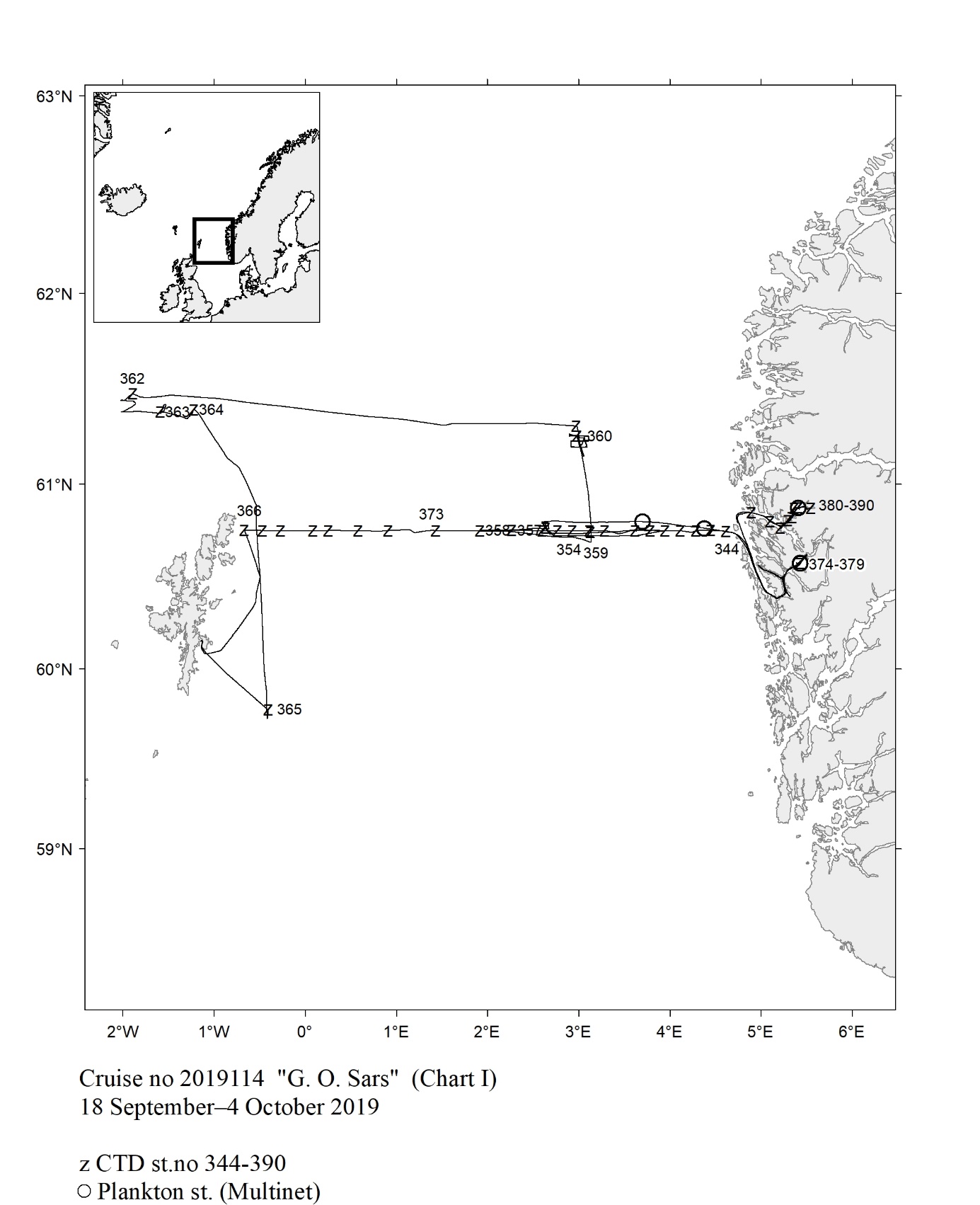 Fig. 19
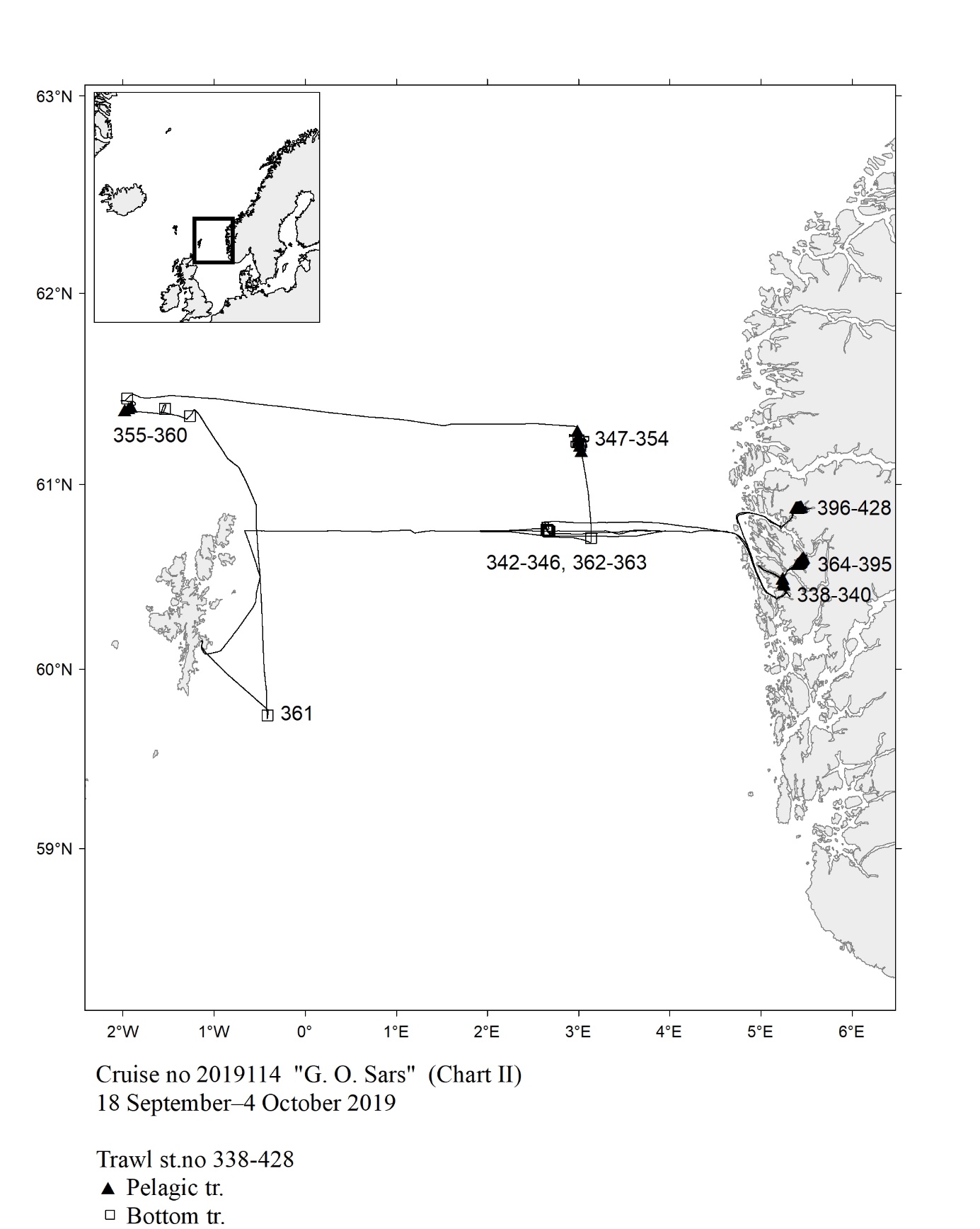 Fig. 20
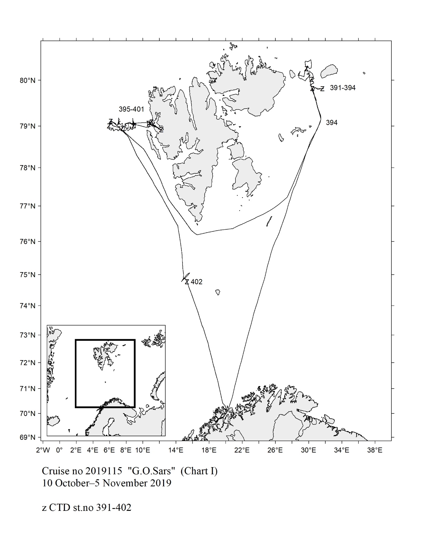 Fig. 21
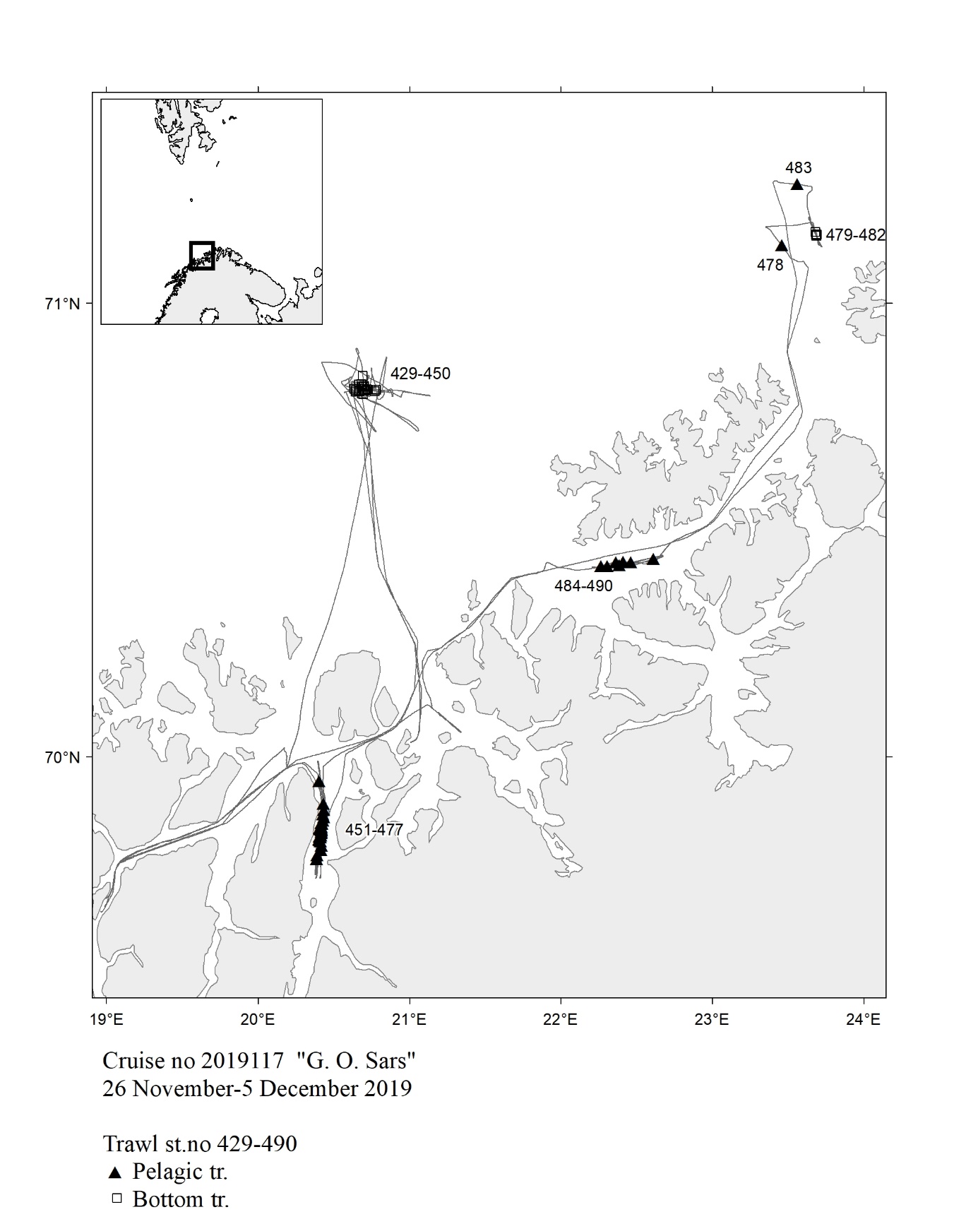 Fig. 22
 Fig. 23
 Fig.25
  Fig.26
  Fig.27
  Fig.28
  Fig.29
 Fig.31
  Fig.32
  Fig.33
  Fig.34
  Fig.35
 Fig.37
  Fig.38
  Fig.39
  Fig.40
  Fig.41
  Fig. 42
 Fig.43
 Fig. 44
 Fig. 45
 Fig. 46
 Fig. 47
 Fig. 48
 Fig. 49
 Fig. 50
 Fig. 51
 Fig. 52
 Fig. 53
 Fig. 54
 Fig. 55
 Fig. 56
 Fig. 57
 Fig. 58
 Fig. 59
 Fig. 60
 Fig. 61
 Fig. 62
 Fig. 63
 Fig. 64
 Fig. 65
 Fig. 66
 Fig. 67
 Fig. 68
 Fig. 69
 Fig. 70
 Fig. 71
 Fig. 72
 Fig. 73
 Fig. 74
 Fig. 75
 Fig. 76
 Fig. 77
 Fig. 78
 Fig. 79
 Fig. 80
 Fig. 81
 Fig. 82
 Fig. 83
 Fig. 84
 Fig. 85
 Fig.86
  Fig.87
  Fig.88
  Fig.89
  Fig.90
  Fig.91
  Fig.92
  Fig.93
  Fig.94
  Fig.95
  Fig.96
  Fig.97
  Fig.98
  Fig.99
  Fig.100
  Fig.101
  Fig.102
  Fig.103
  Fig.104
  Fig.105
 Fig.106
  Fig. 107
 Fig.108
  Fig.109
  Fig.110
  Fig.111
  Fig.112
  Fig.113
  Fig.114
  Fig.115
  Fig.116
  Fig.117
  Fig.118
  Fig.119
  Fig.120
  Fig.121
  Fig. 122
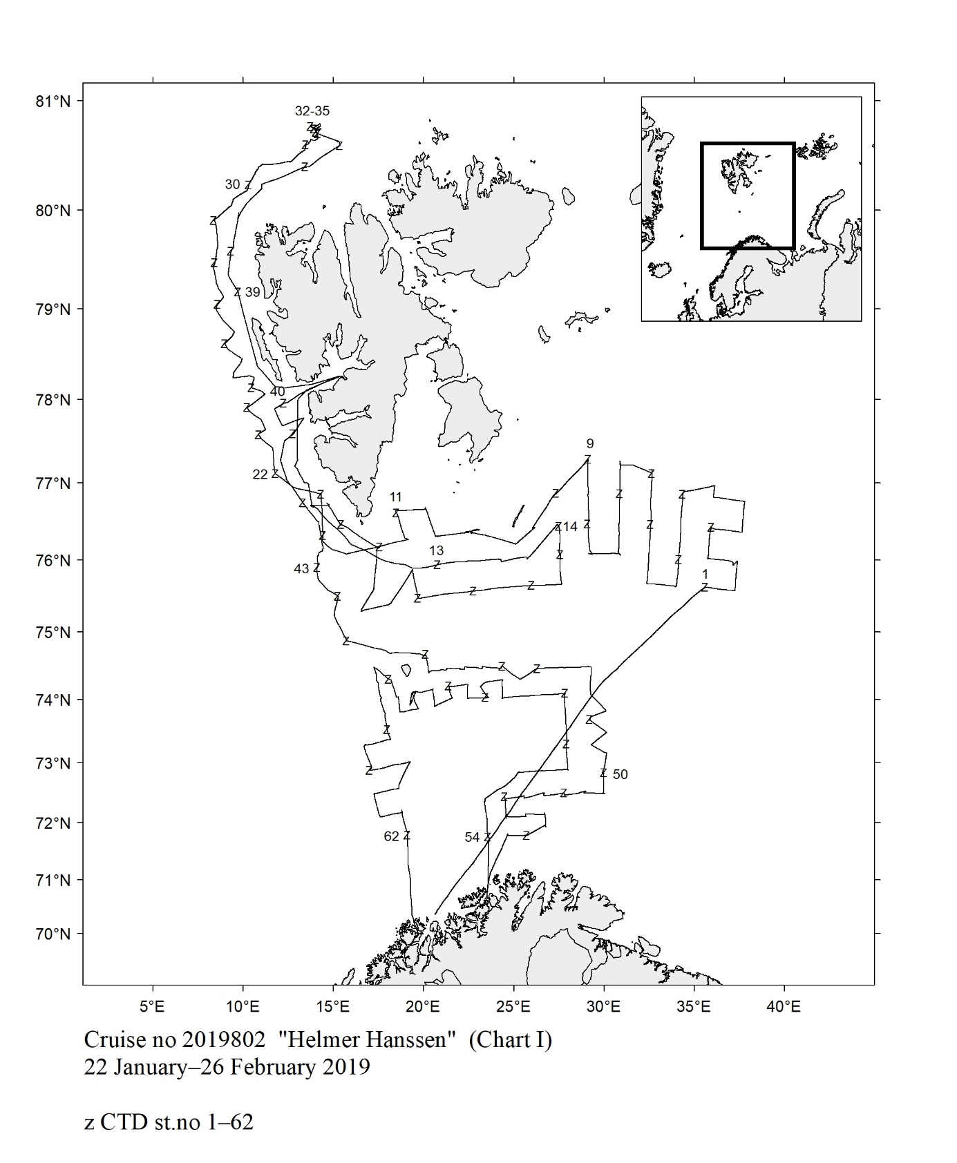 Fig. 123
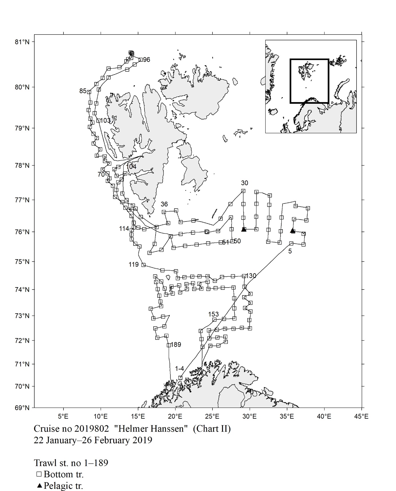 Fig. 124
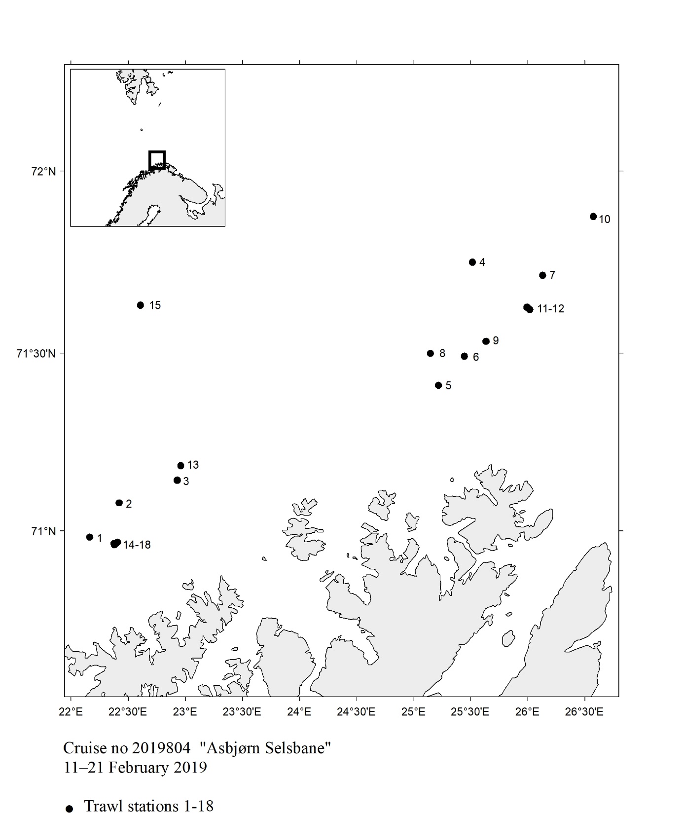 Fig.125
 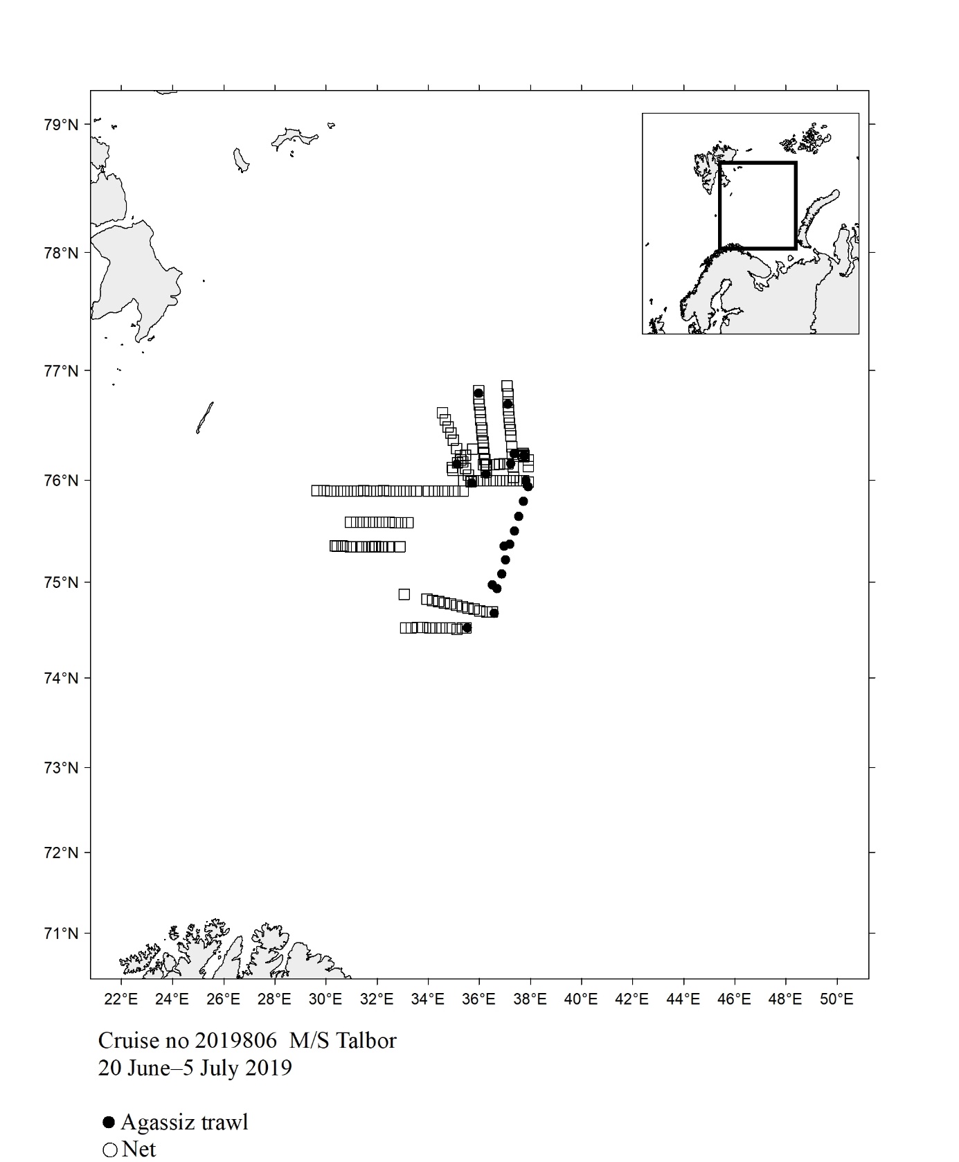 Fig. 126
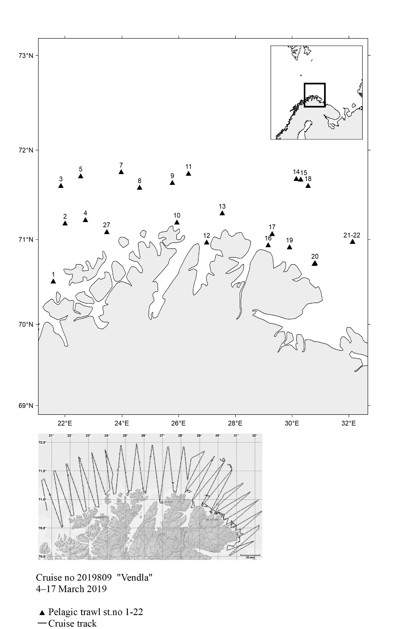
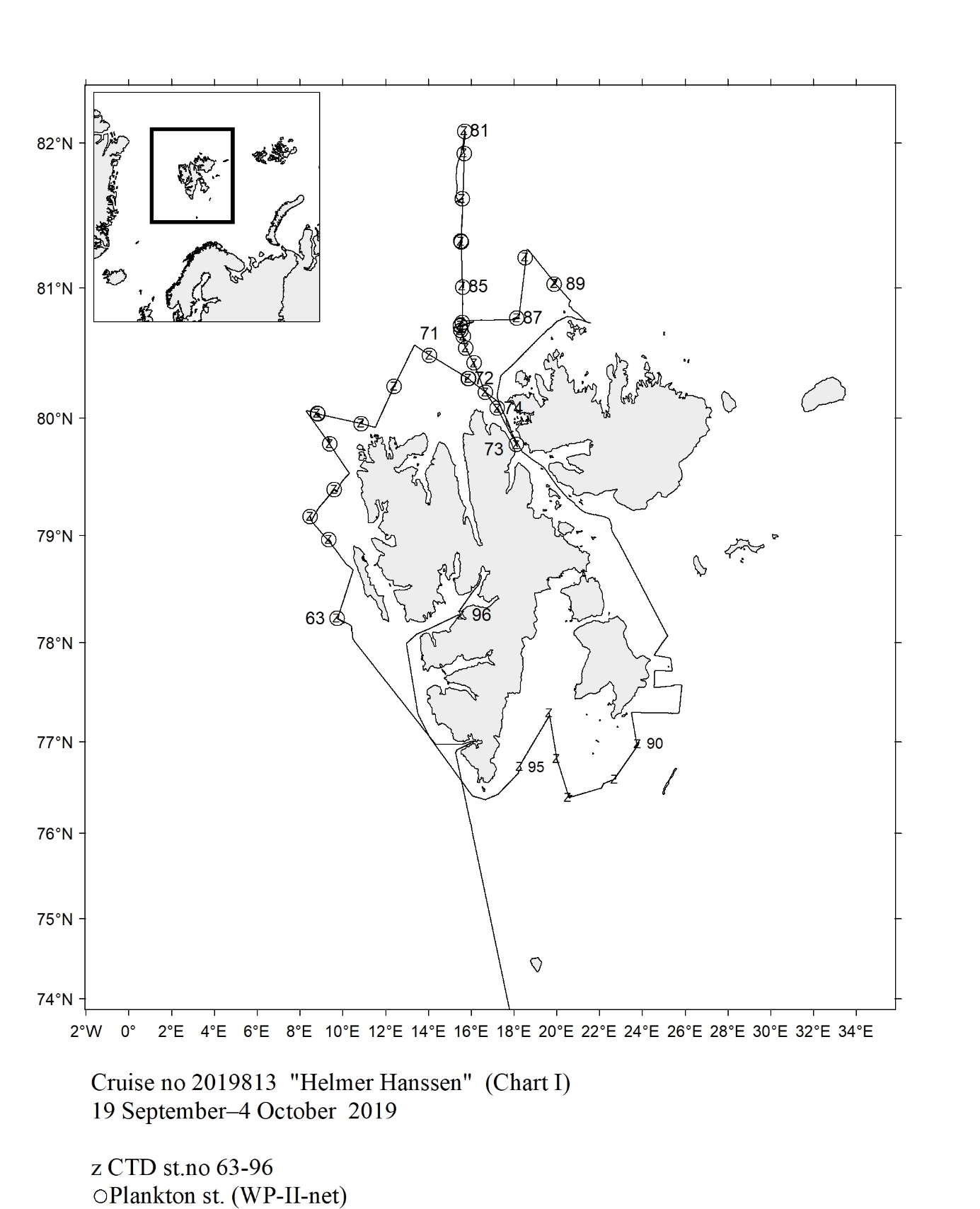 Fig.128
 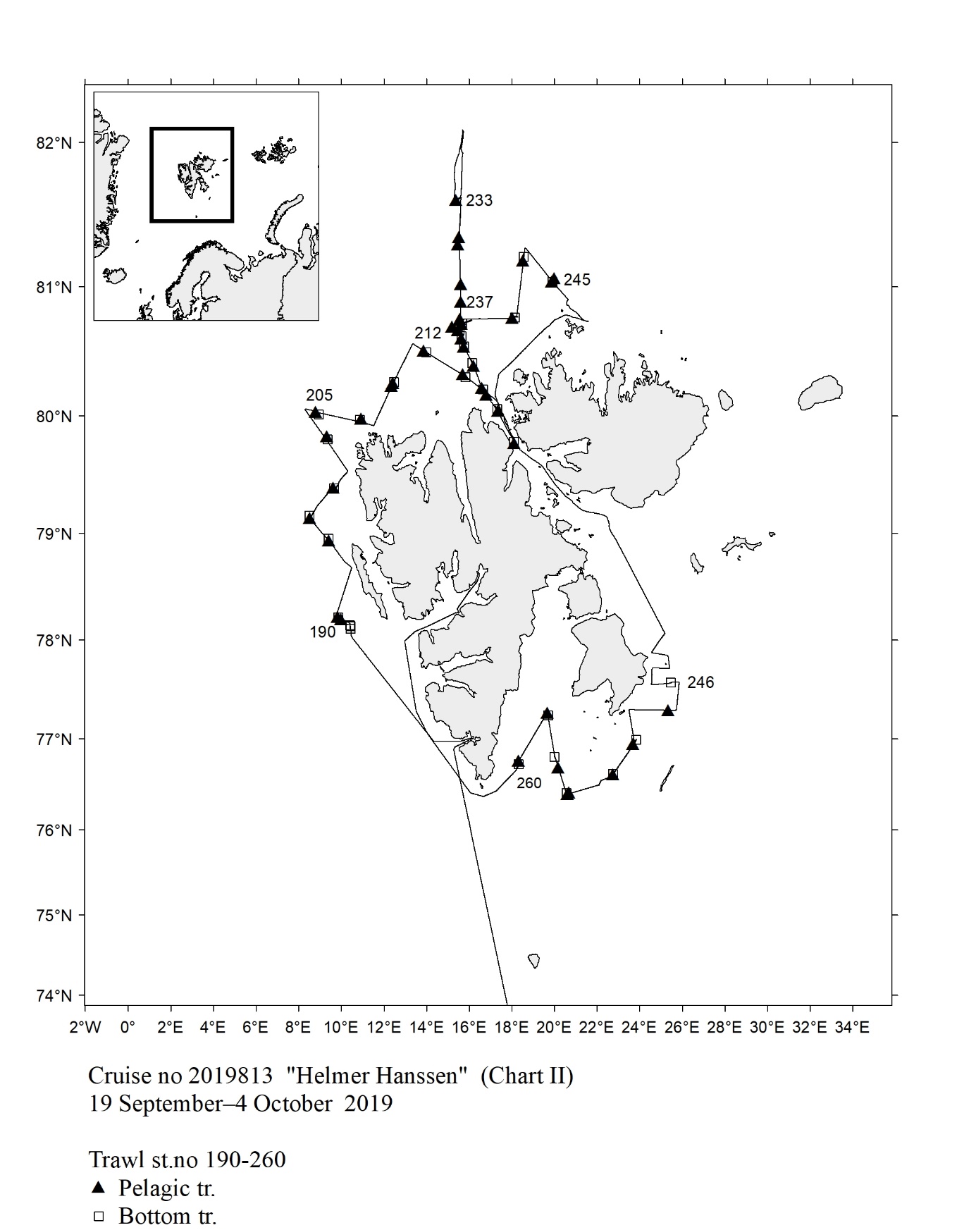 Fig.129
 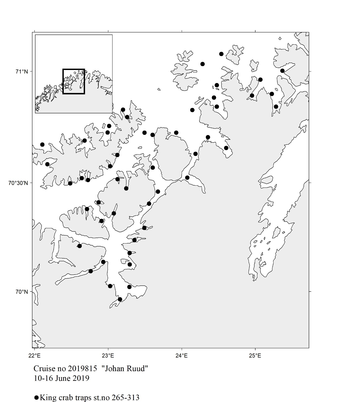 Fig.130
 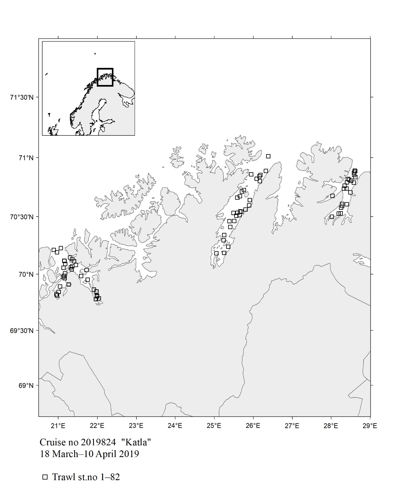 Fig. 131
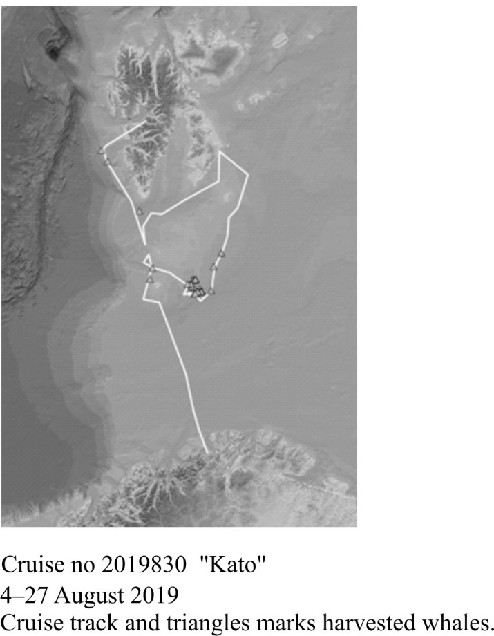
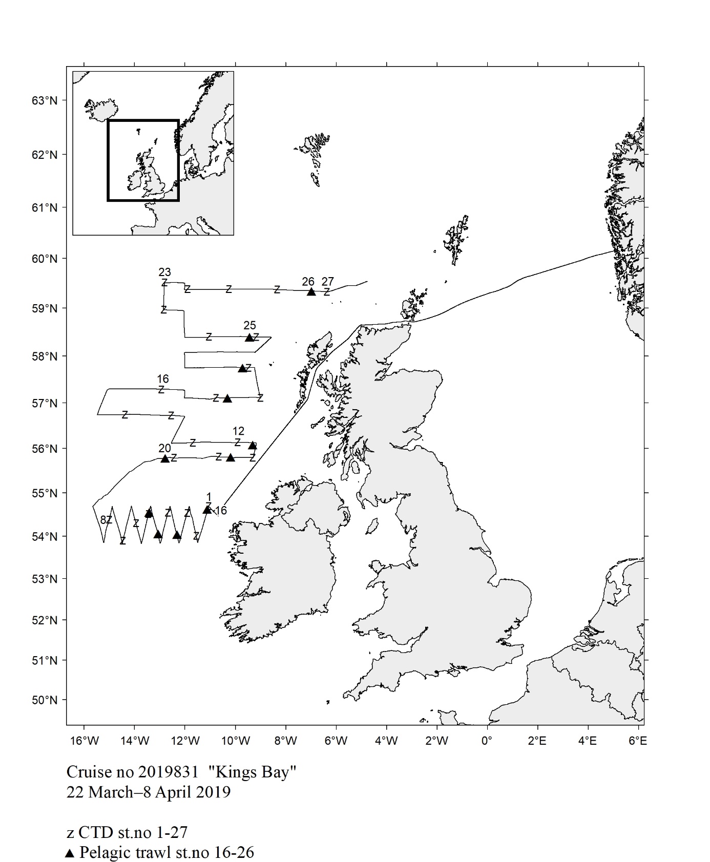 Fig.133
 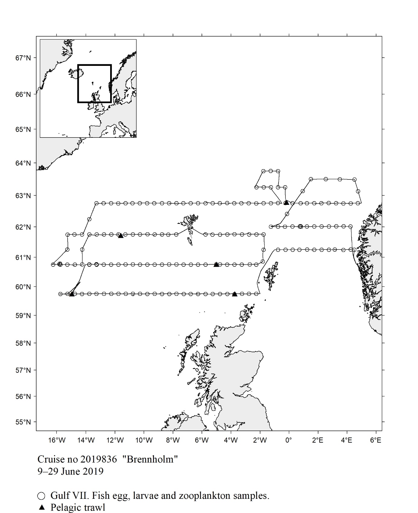 Fig.134
 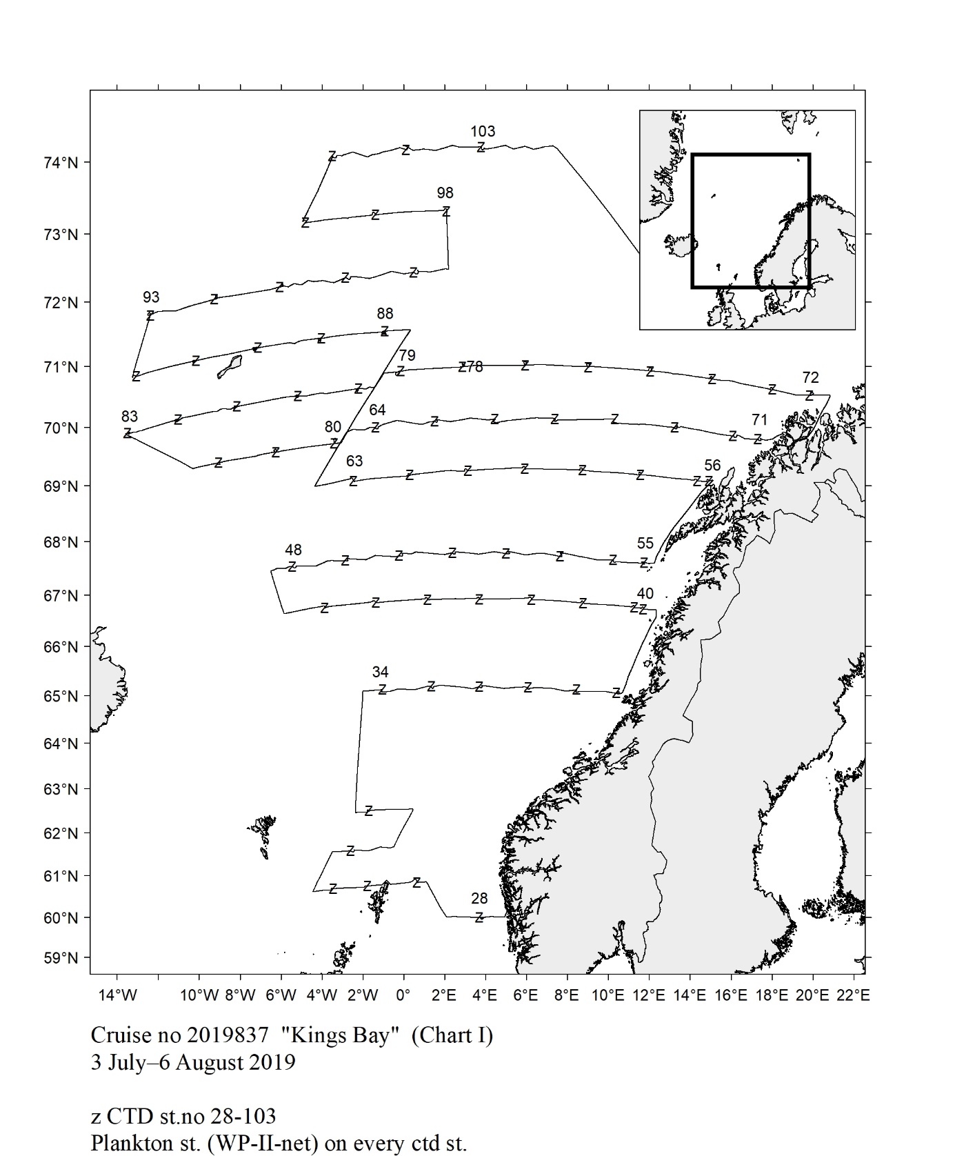 Fig.135
 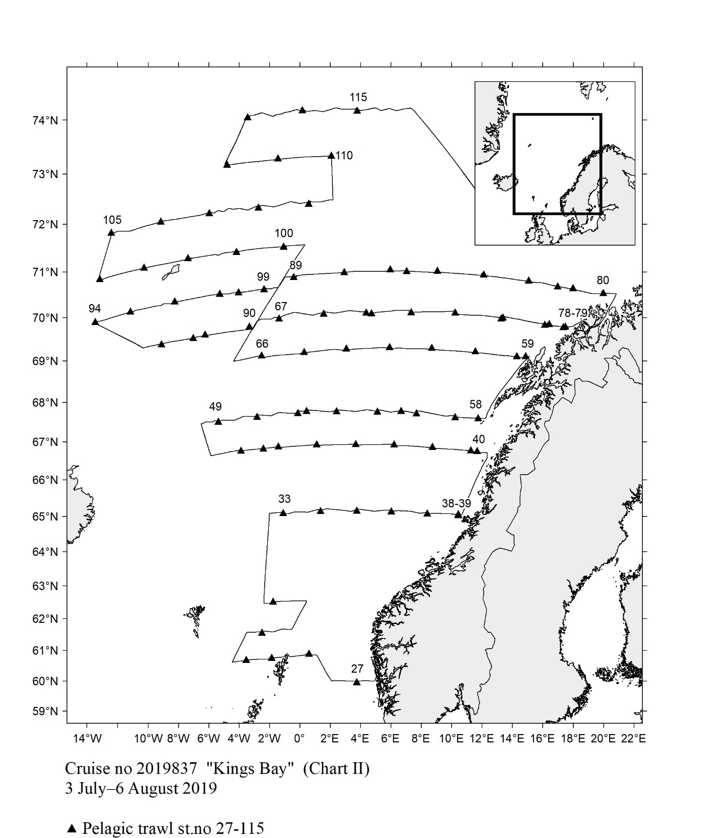 Fig.136
 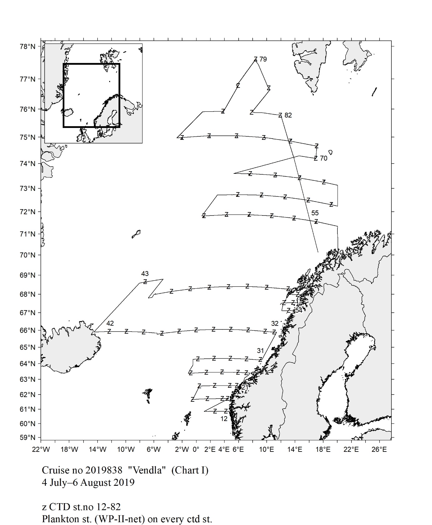 Fig.137
 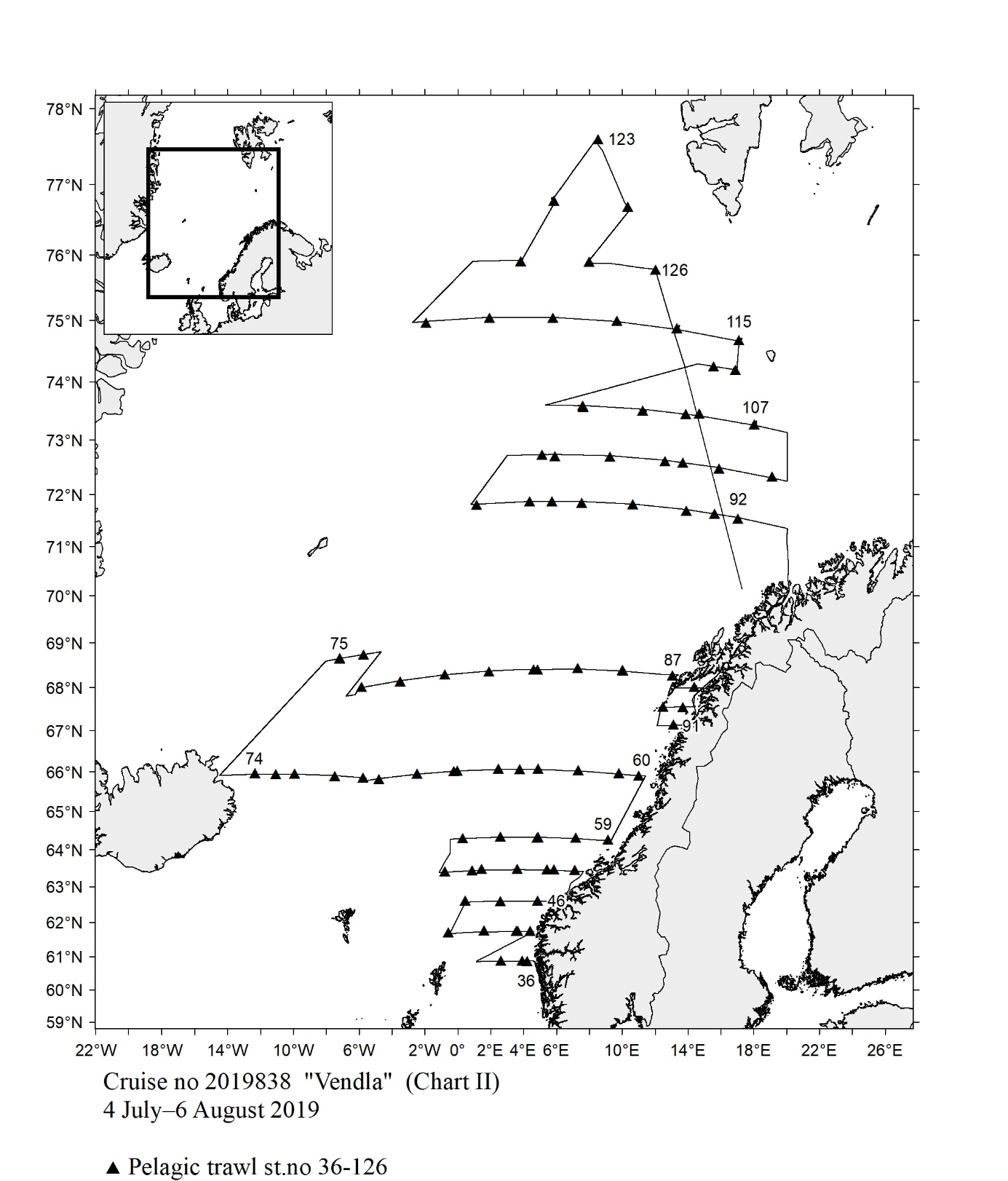 Fig.138
 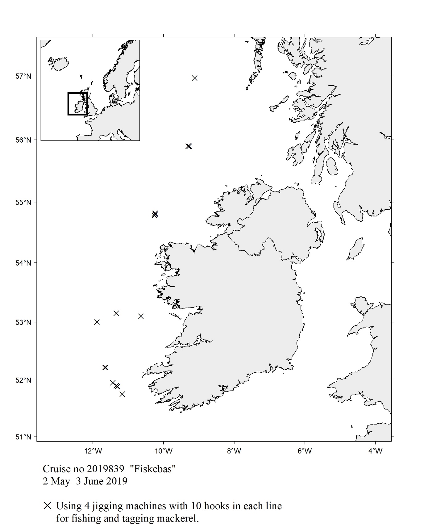 Fig.139
 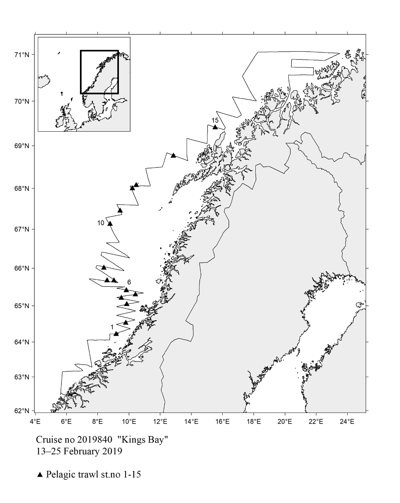 Fig. 140
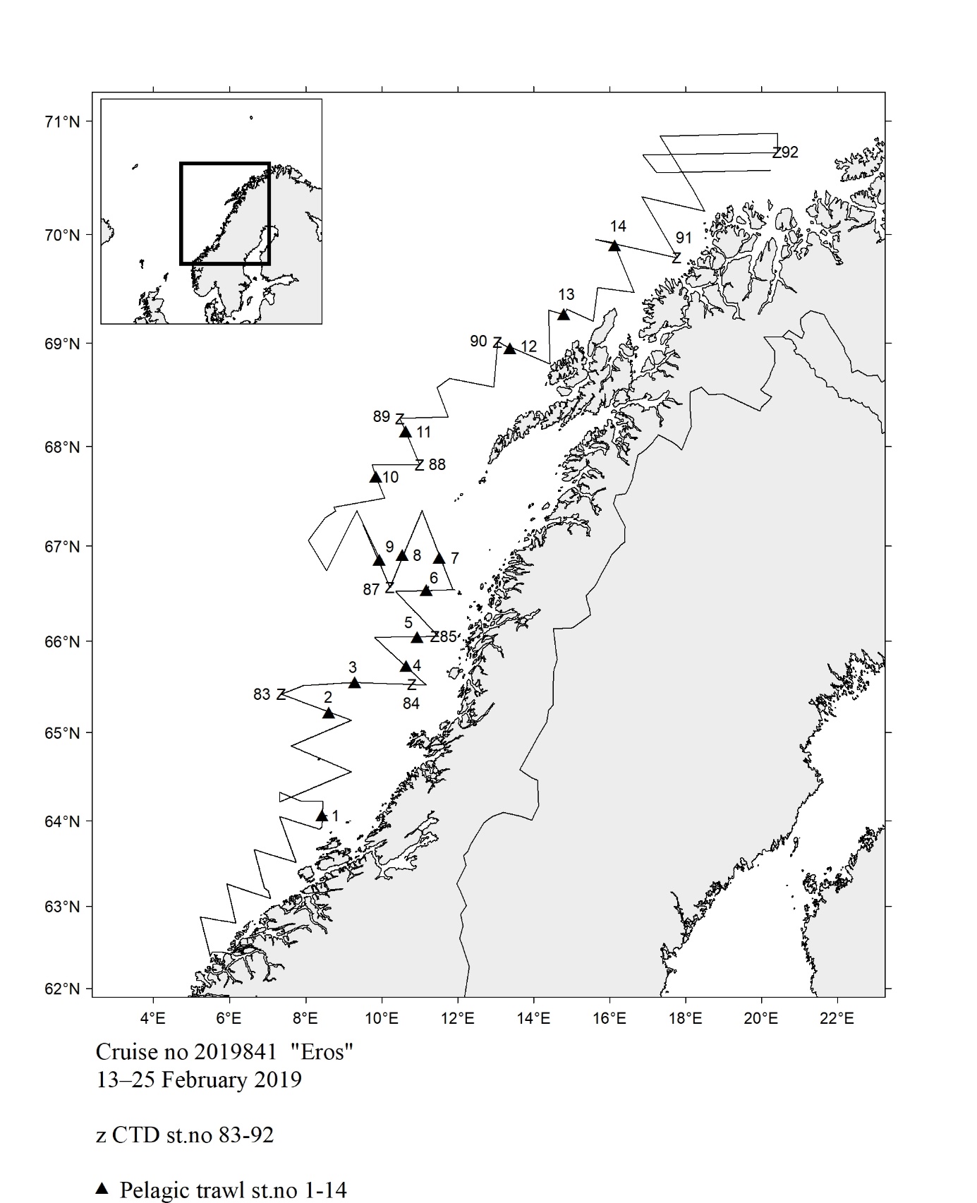 Fig.141
 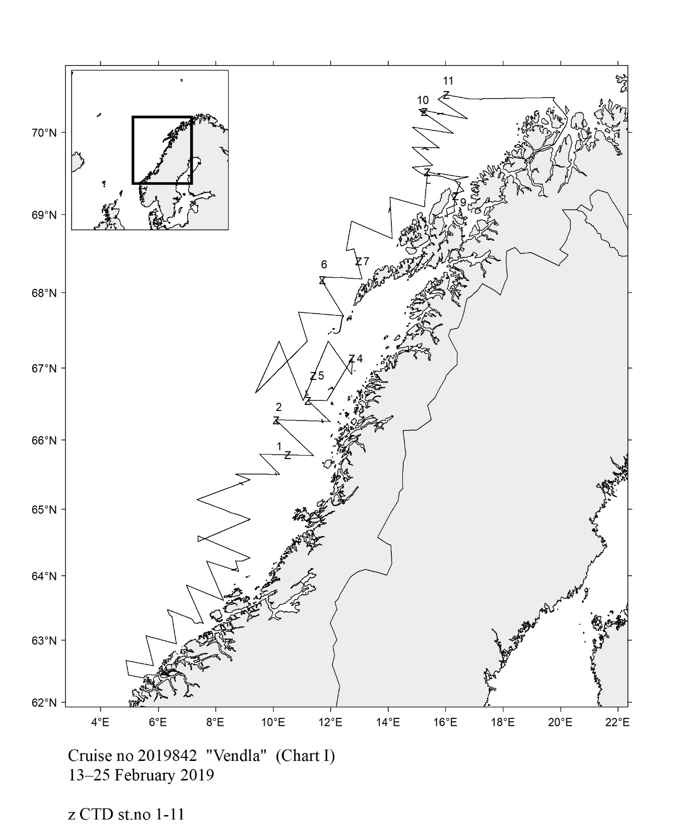 Fig.142
 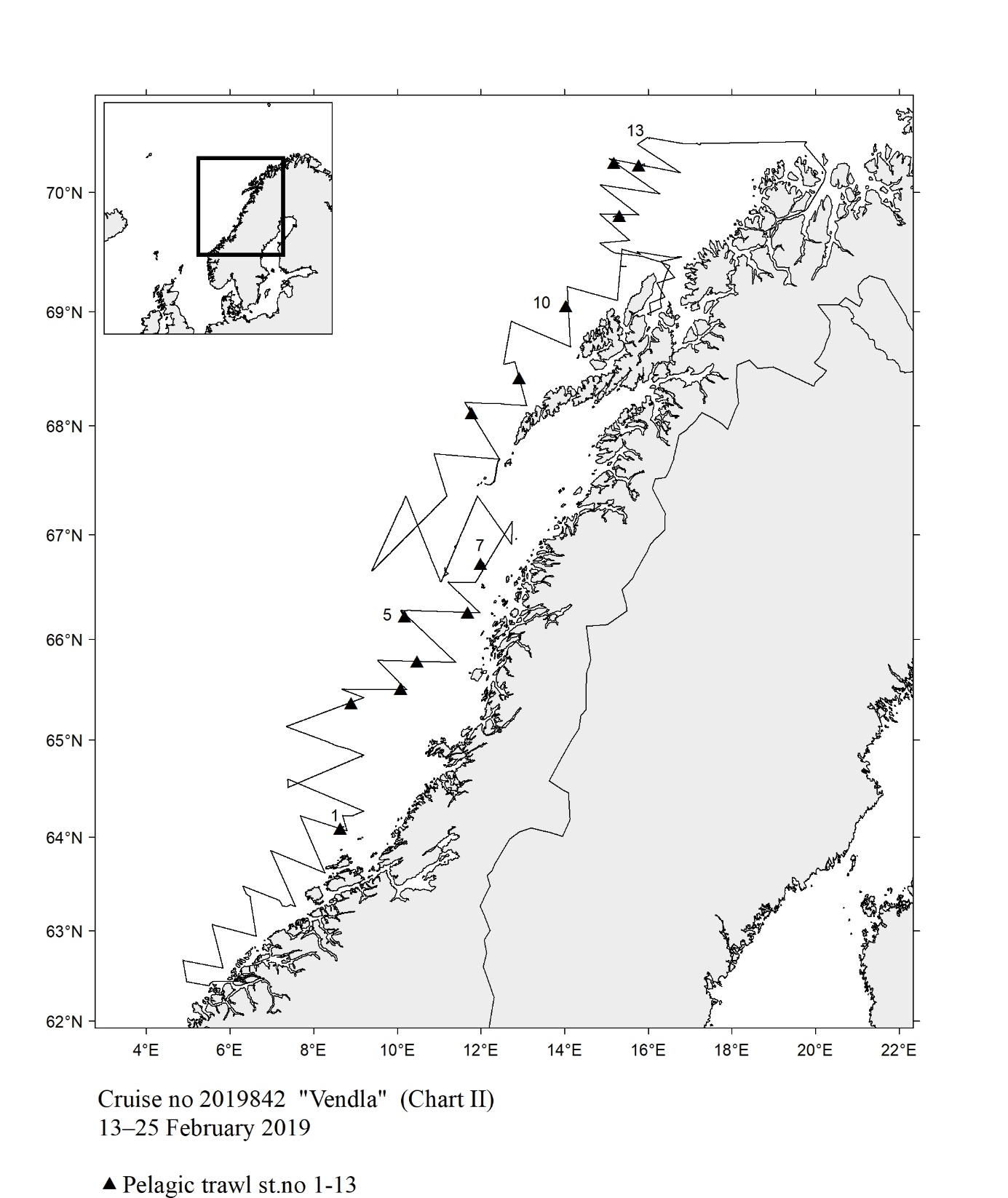 Fig.143
 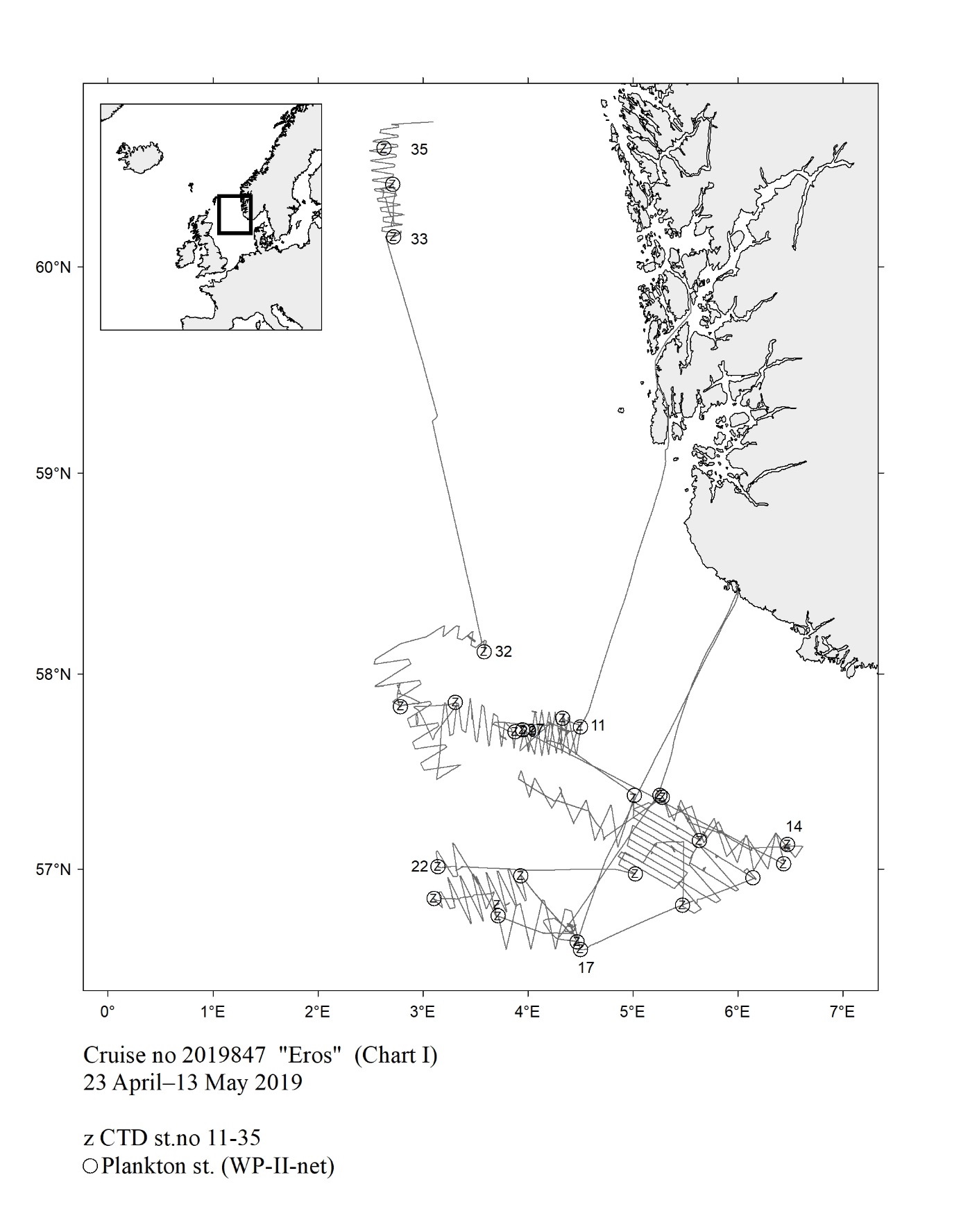 Fig.144
 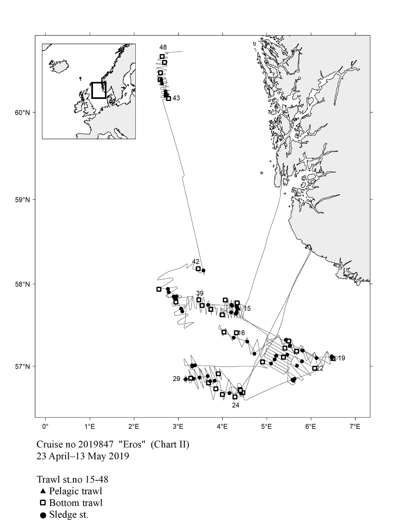 Fig.145
 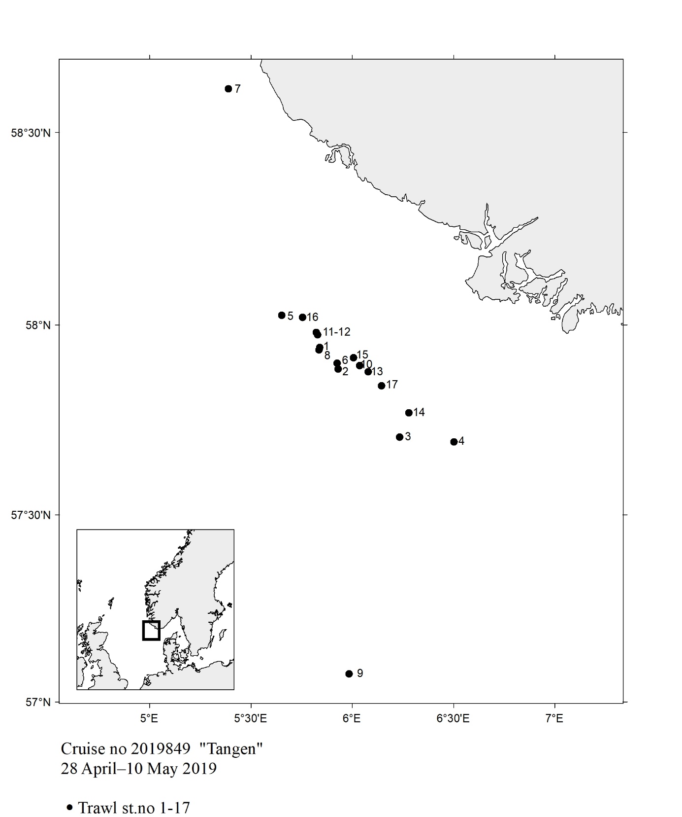 Fig. 146
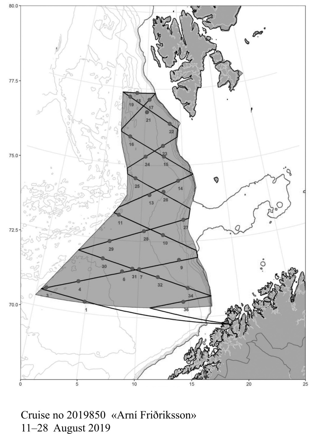
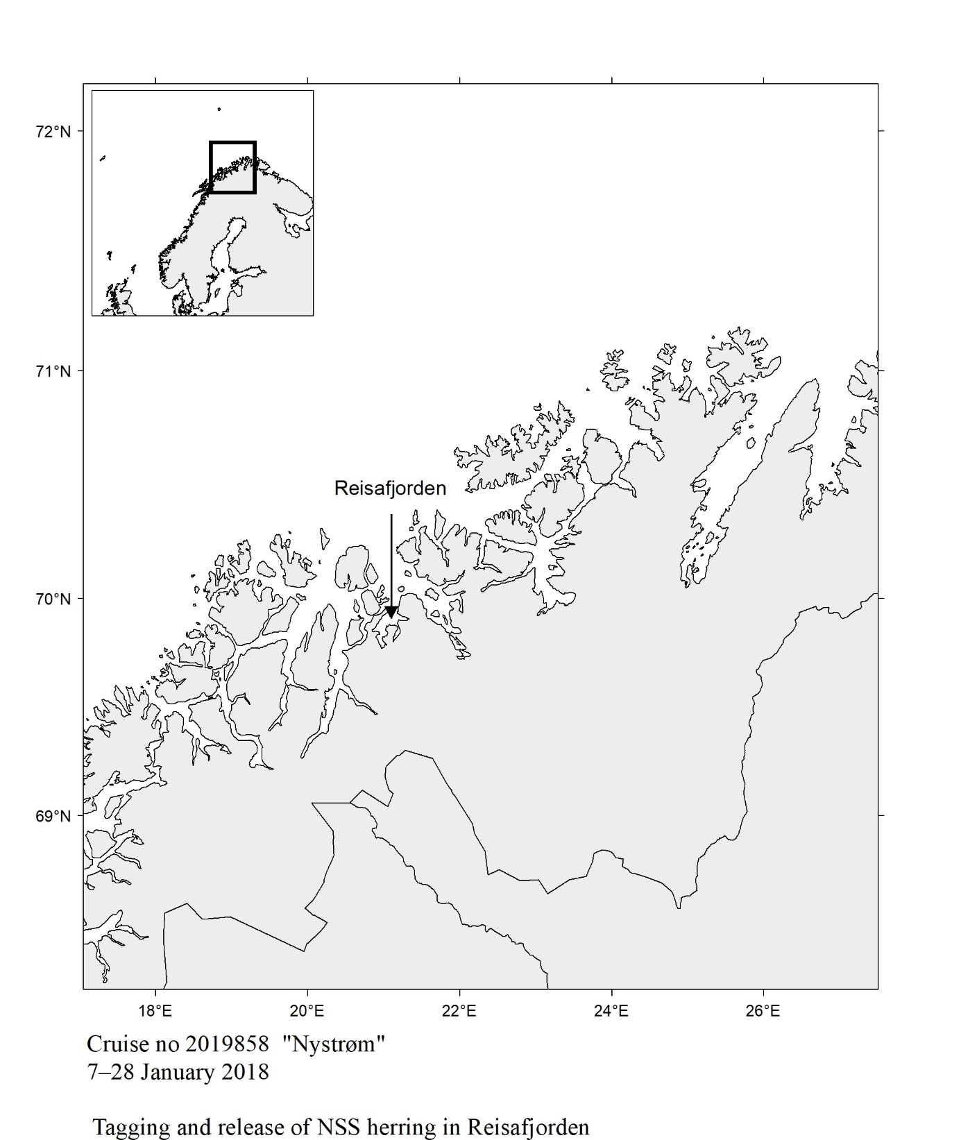
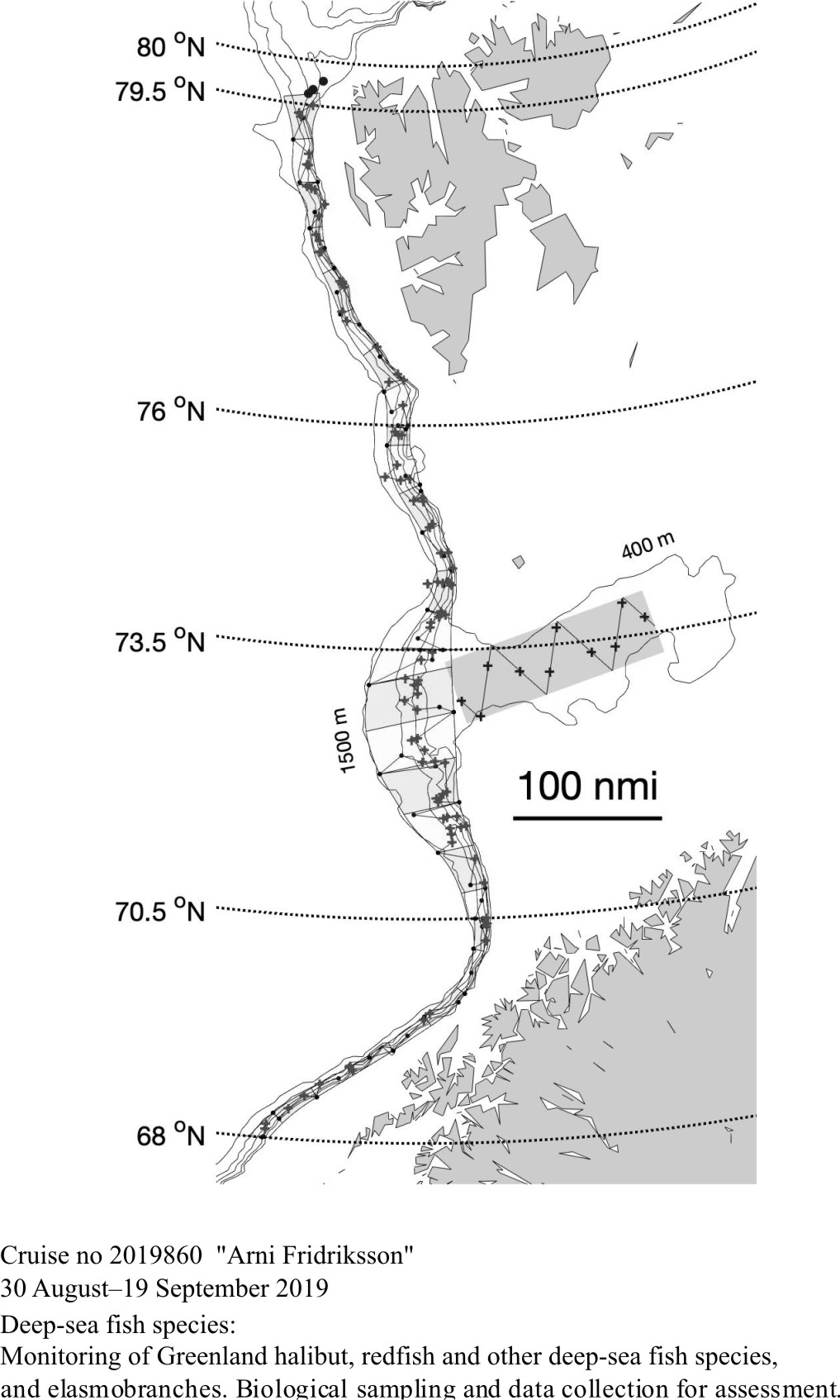
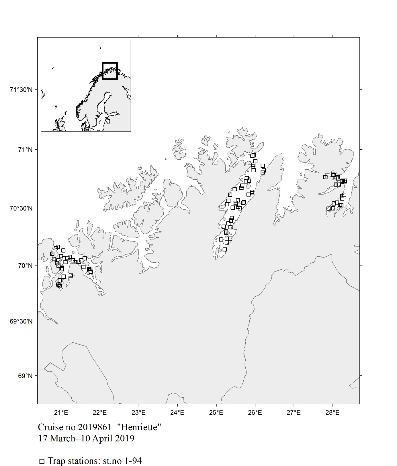 Fig. 150
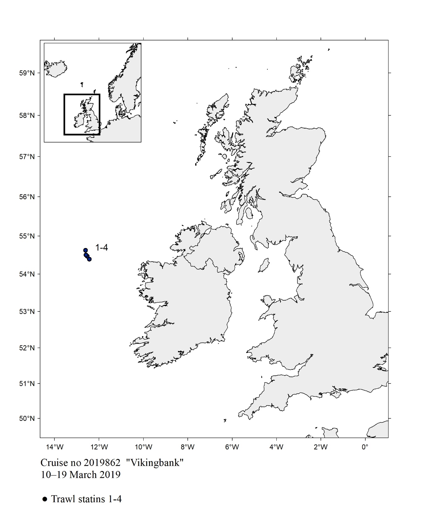 Fig. 151
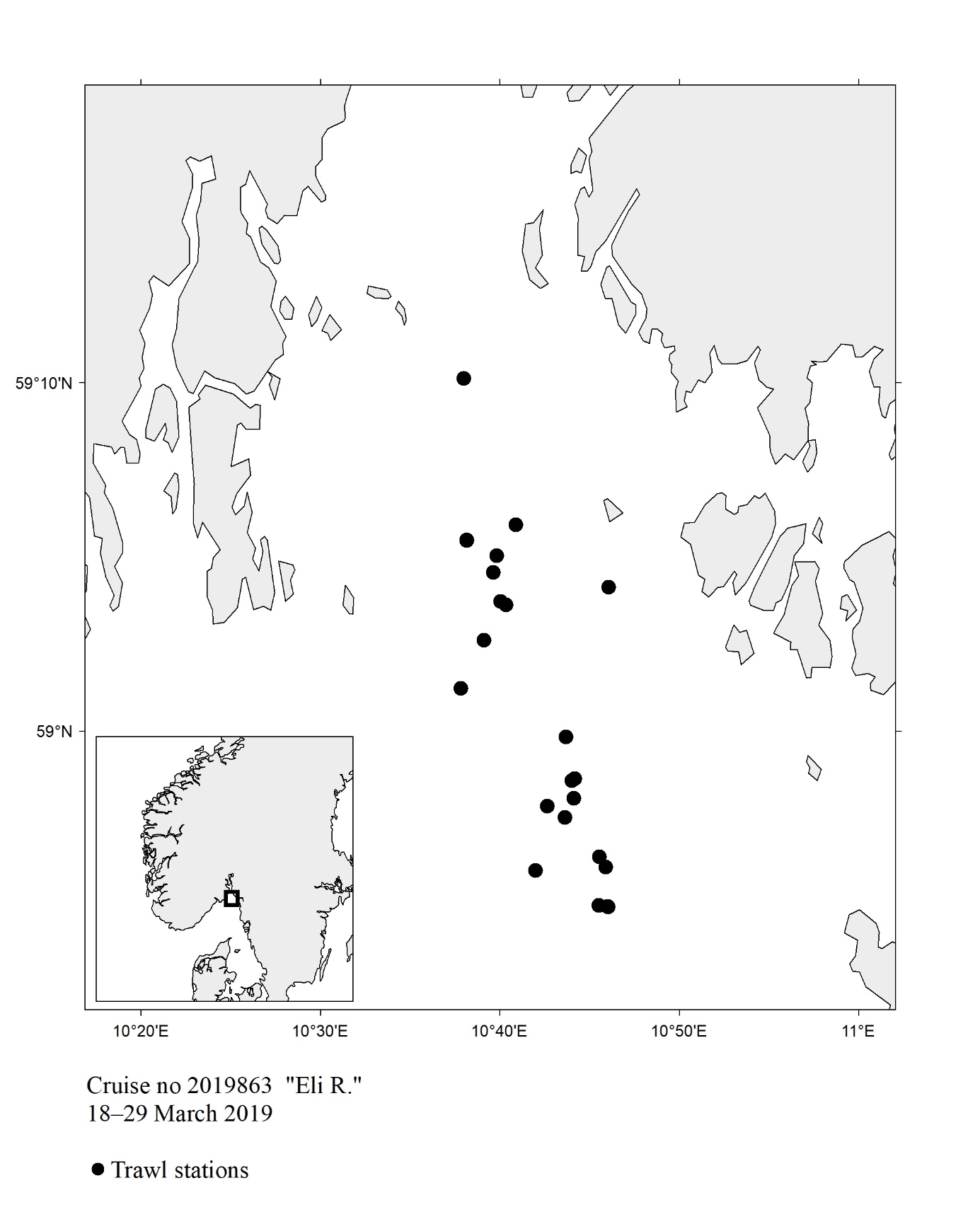 Fig. 152
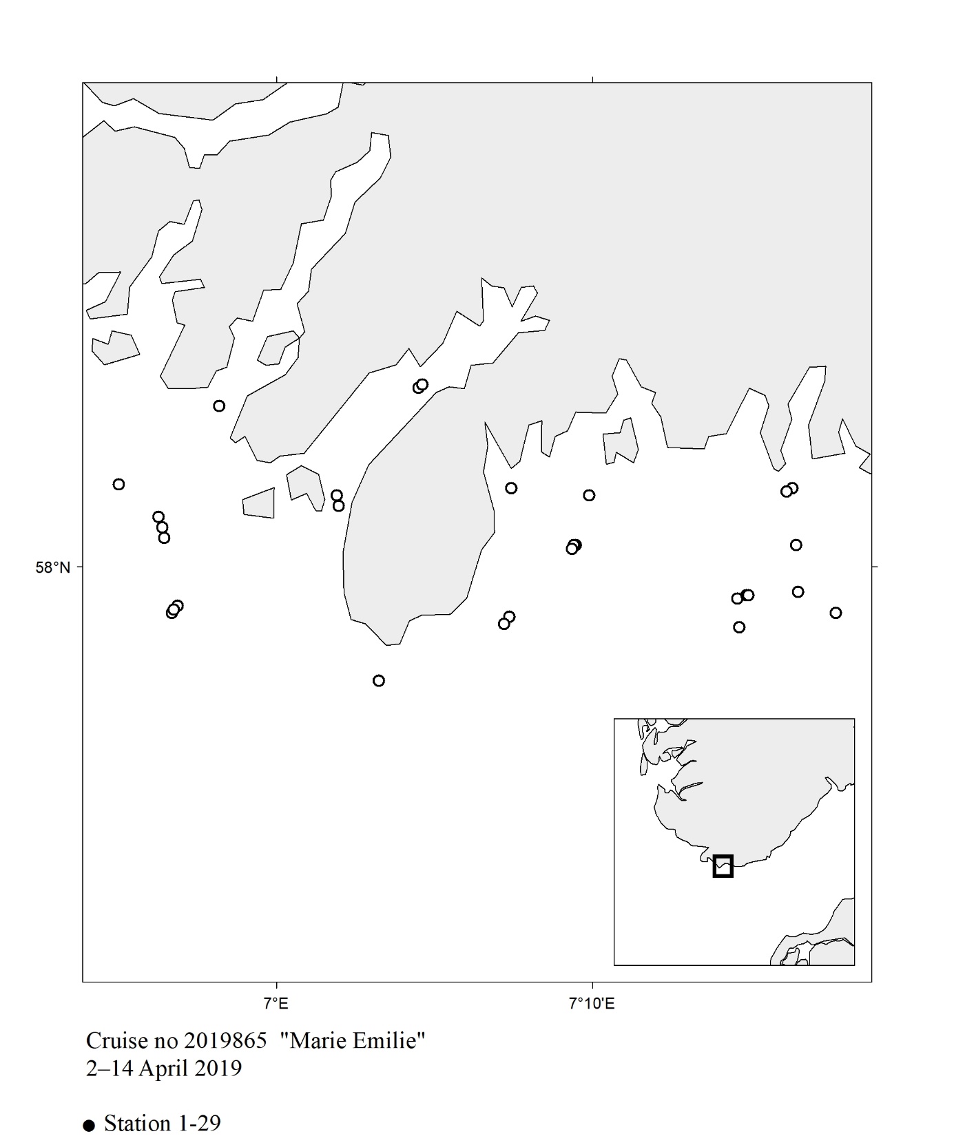 Fig. 153
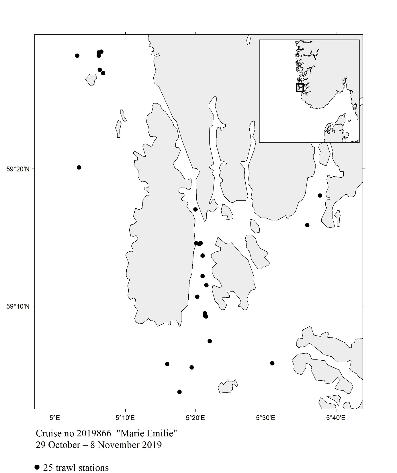 Fig. 154
 Fig. 155
  Fig. 156
  Fig. 157
  Fig. 158
  Fig. 159
  Fig. 160
  Fig. 161
  Fig. 162
  Fig. 163
  Fig. 164
  Fig. 165
  Fig. 166
  Fig. 167
  Fig. 168
  Fig. 169
  Fig. 170
  Fig. 171
  Fig. 172
  Fig.173
  Fig. 174
 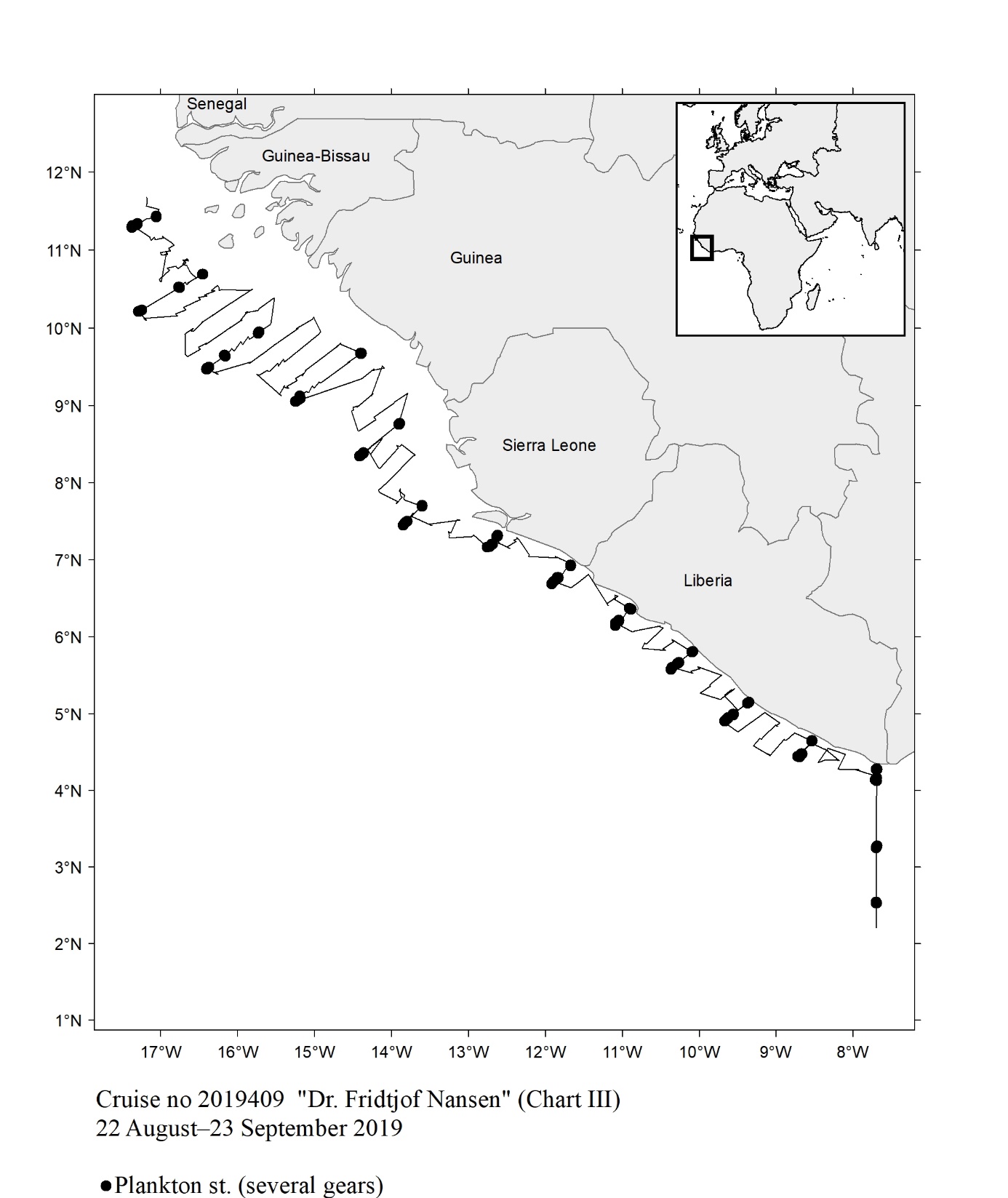 Fig. 175
  Fig. 176
  Fig. 177
  Fig. 178
  Fig. 179
  Fig. 180
  Fig.181
  Fig.182
  Fig183
  Fig184
  Fig. 185